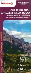
Description
Southern Corsica, from Porticcio to Propriano
Here is one of the new maps from the French Hiking Federation. Special for roaming, lightweight (0.50 gr), tear-resistant and waterproof. Easy to slip into the backpack and above all ESSENTIAL for preparing for your trip and in the field.
You will find on this map:
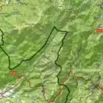
- The entire Mare a Mare and the GR20
- 12 days of hiking
- 136 KM
- 11 itinerary suggestions
Made in France
Features
Name
FFRP Map - South Corsica - Through Alta Rocca
Length
25.20 cm
Width
10.80 cm
Height
0.30 cm
Weight
0.50 kg
GR
GR20
Language
French
Type
Map
This might interest you
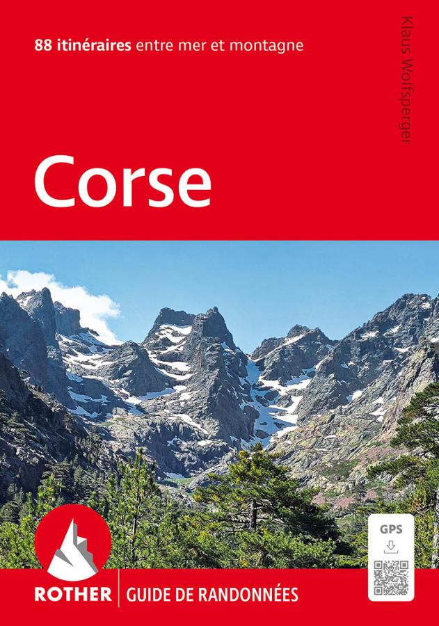
Corsica, 88 itineraries along the coast and in the mountains of the Isle of Beauty
Rother hiking guide to Corsica with 88 itineraries with GPS tracks between sea and mountains.
18,00€
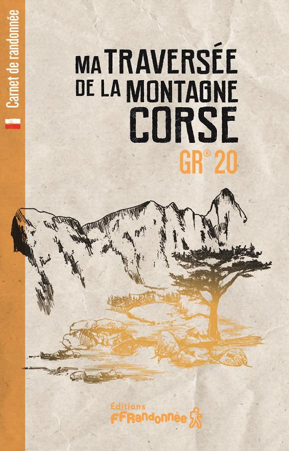
Hiking guide on crossing the Corsican mountain GR20
Customizable logbook or "bullet journal" to describe your hiking experience on the GR20.
14,40€