The GR® Footpaths
What are GR®?
The Grande Randonnée trails, or GR® trails, are symbolized by white and red markings throughout France. These routes criss-cross forests and countryside, follow the contours of coastlines and survey mountain ranges.
Discover the main Grande Randonnée trails on Cartopedestre with the best topoguide publishers.
The GR®, the long-distance hiking trails to discover
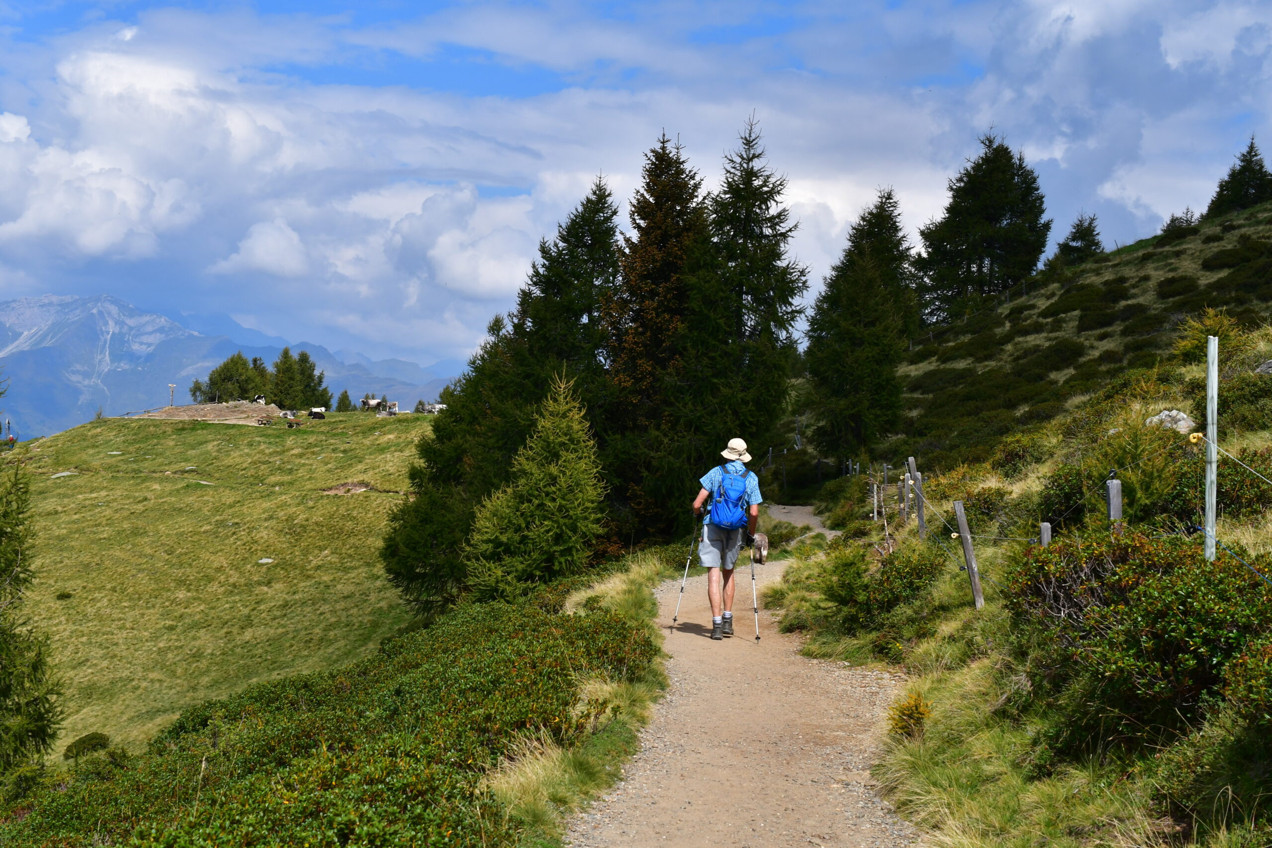
For over 70 years, the GR® (French Long Distance Hiking Trails) have become iconic landmarks for nature lovers and long-distance hiking enthusiasts. Every year, thousands of hikers take to these trails in search of adventure, a change of scenery, and escape. Whether you’re a beginner or an experienced hiker, you’ll find itineraries to suit your needs, whether you’re hiking in the mountains, along the coast, or through the most remote regions of France.
The GR® (French Long Distance Hiking Trails) are much more than just hiking trails. They carry a history, that of the people who have traveled them: customs officers, pilgrims, and peddlers. For example, the GR® 34, nicknamed the Customs Officers’ Path, runs along the Breton coast and offers panoramic views of the Atlantic Ocean. It is one of the most iconic GR trails in France, renowned for its wild beauty.
There are other legendary trails: the GR® 10, which crosses the Pyrenees from east to west, or the GR® 20 in Corsica, known as one of the most challenging routes in Europe. These trails allow for total immersion in unique natural and cultural environments.
New GR® trails are also created every year, such as the GR® 800 in the Somme Valley, which allows visitors to discover the history and biodiversity of the Hauts-de-France region. This is the essence of the GR hiking network: to connect, reveal, and offer a different kind of journey.
The different GR® trails to explore in France
Here is a selection of the main GR® hiking trails across France:
- GR® 3 – Loire Trail : follows the royal river from its source to the estuary, ideal for hiking around Nantes.
- GR® 5 – Europe Trail : connects the Netherlands to the Mediterranean via the Vosges, Jura, and the Alps.
- GR® 9 – From the Jura to the Var : crosses the Pre-Alps and plateaus to the Mediterranean shores.
- GR® 10 – Great Crossing of the Pyrenees : from the Atlantic to the Mediterranean, for experienced hikers.
- GR® 20 – Corsica : considered one of the most demanding trails in Europe, between mountains and scrubland.
- GR® 34 – Customs Officers’ Trail : runs along the entire Breton coastline with spectacular views of the Atlantic. GR® 65 – Puy-en-Velay Way: one of the major French routes to Santiago de Compostela.
- GR® 653 – Arles Way – Camino Aragonés : crosses the south of France to the Pyrenees, a southern route to Santiago de Compostela.
- GR® 654 – Vézelay Way : peaceful path through Berry and Périgord.
- GR® 655 – Paris and Tours Way : follows the Loire Valley to Poitiers and then Saintes.
- GR® 70 – Stevenson Trail : in the Cévennes, inspired by the journey of Scottish writer Robert Louis Stevenson.
The essentials for preparing your GR®
Before setting out on a long-distance hiking trail, it’s essential to carefully plan your route. Here’s the map team’s selection for a successful GR hike:
- FFRandonnée Topo-guide : GR® 34 – Pink Granite Coast
A complete official guide with maps, elevation profiles, accommodation, and alternative routes for exploring the Breton coast independently. - Ouest-France Practical Guide : 70 hikes on the GR® trails of France
An inspiring book presenting a selection of accessible routes throughout the country, with practical advice and weekend ideas. - Glénat Thematic Books : France of the GR®
A richly illustrated book highlighting the most beautiful GR trails across France, with stories and breathtaking images.
Learn more about the GR® network
The GR rando network now encompasses nearly 100,000 km of marked trails in France. Their maintenance is carried out by more than 8,000 volunteers from the FFRandonnée (French Federation of Hiking and Trekking Federations), who ensure signage, route safety, and the opening of new sections.
Since the 1950s, France has been a pioneer in the development of these routes. The movement is experiencing renewed growth thanks to the craze for sustainable tourism and the desire to slow down.
Each year, trails are rehabilitated or extended, such as the recent GR® 69 – La Routo between Provence and the Italian Piedmont, or the extended section of the GR® 34 to Saint-Nazaire.
Furthermore, the GR® and GR® de Pays are registered trademarks of the FFRandonnée. Any reproduction of the routes or markings is subject to authorization. The use of these resources (guides, maps, apps) must be done in compliance with these regulations.