
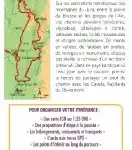

Description
The essentials for hikes in Revermont, Mont Jura and the Gorges de l'Ain
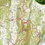
This topomap allows you to cross the Jura and the Ain in 7 days via the Revermont, a mountain with rounded reliefs.
An all-in-one product to experience roaming with complete peace of mind. Breakdown of stages per day, assets of the region crossed, precise IGN mapping, GPS tracks to download, accommodation…
All the information necessary for the traveling hiker is specified on this solid and flexible double-sided map.
You will find on this map:
- 7 days of hiking
- 120 km of route on IGN background
- 16 day walks
- Accommodation, restaurants, transport
- Access to the GPX track
- Points of interest along the route
Made in France
Features
Name
FFRP Map - Le Revermont, Mont Jura and Gorges de L'Ain
Length
25.20 cm
Width
10.80 cm
Height
0.50 cm
Weight
0.70 kg
Language
French
Publishers
FFRP
Type
Map
This might interest you

Alpes du Sud - 40 belles balades
Guide to 40 beautiful nature walks in the Southern Alps for all levels.
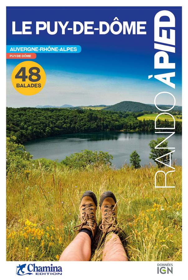
Le Puy-de-Dôme - rando à pied
Topoguide complet et pratique de 48 randonnées dans le Puy-de-Dôme avec cartes IGN, centres d'intérêts et adresses pratiques.
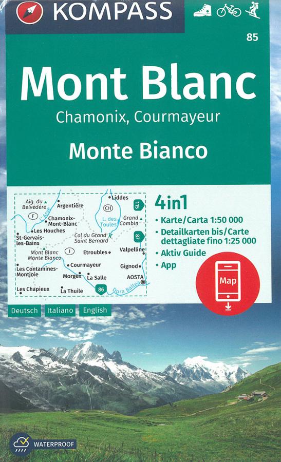
Mont Blanc - Chamonix - Courmayeur - carte randonnée Kompass 85
Kompass hiking and biking map 85 around Mont Blanc, Chamonix and Courmayeur at 1:50,000 scale with multilingual legend.