
Description
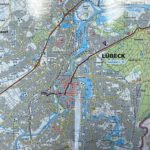
Map of the Baltic Sea cycleroute from Lübeck to Usedom | Germany
This new 2024 edition Baltic Sea cycleroute map is brought to you by Kompass. Follow a 390km long route from Lübeck to Usedom in Germany.
The route runs along the north-east coast of Germany, offering a diverse landscape where the Baltic Sea and its shores shape the natural setting. The route is part of Germany's major cycle routes, including EuroVelo 10, known as the Baltic Sea Route, which runs along the Baltic coast of several European countries.
Designed at a scale of 1:50,000, which is ideal for cycling, this map provides tourist information on museums, accommodation, monuments, etc. as well as the gradient, nature of the roads and traffic. In addition to city maps, you'll also find information on railway stations and networks. Useful contacts are added to descriptions of places of interest and altitude profiles.
This route takes you along the Baltic Sea, through coastal landscapes and charming seaside villages. Starting in Lübeck, a UNESCO World Heritage Site, follow quiet paths through forests, sandy beaches and cliffs. Along the coast, discover the seaside resorts of Timmendorfer Strand and Boltenhagen!
Halfway along, discover the towns of Wismar and Rostock, with their medieval architecture, before reaching the island of Rügen and its iconic chalk cliffs. But then, what's the highlight of the route ? It's the island of Usedom, nicknamed ‘the island of the sun’. And why is that? Because it's the sunniest place in Germany ! This island in the Baltic Sea is shared by Germany and Poland (it is called Uznam in Polish). On your bikes !
This map is entirely in german !
Included:
- 1:50,000 water-resistant map in its cardboard pocket
- Size to fit handlebar panniers
- GPS data
- 2024 edition
Features
Name
Ostseeküsten Radweg 2 - Baltic Sea cycleroute - Lübeck Usedom
Length
11 cm
Width
1.5 cm
Height
18 cm
Weight
0.150 kg
Language
German
Scale 1/50 000
This might interest you
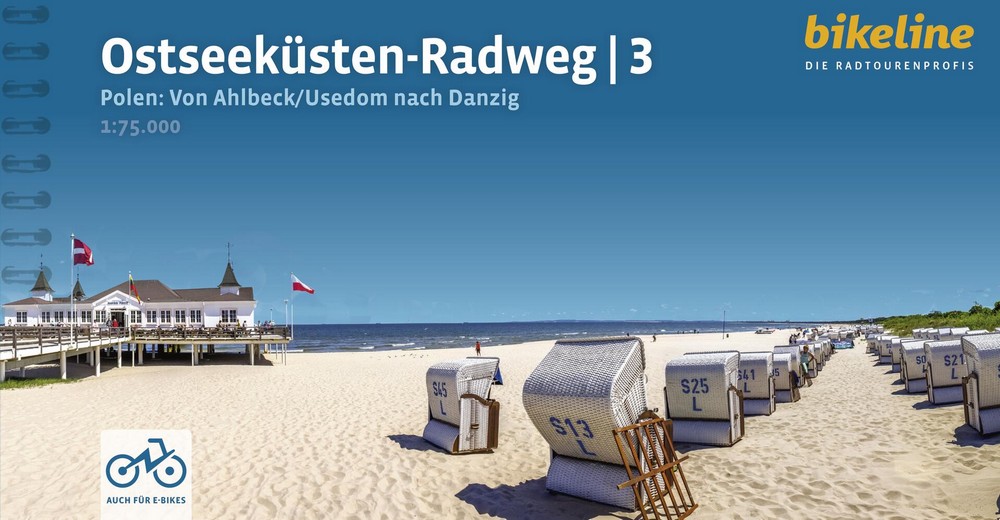
Baltic Sea Cycling Guide (Vol. 3): From the German border to Gdańsk
Eurovelo 10, véloroute de la Mer Baltique en Pologne, de Ahlbeck/Usedom à Danzig. Guide cyclable bikeline avec cartes au 1/75 000.
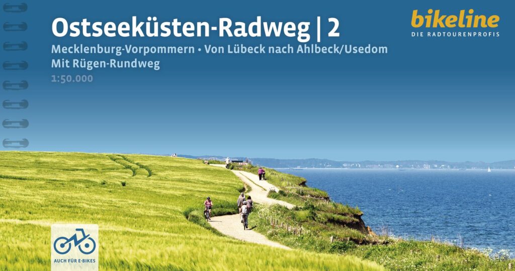
Baltic Sea Cycling Guide (Vol. 2): Lübeck to Usedom & Rügen Island
Explore the Baltic coast from Lübeck to the island of Usedom. Includes: the complete tour of the island of Rügen. Bikeline Guide 2026 Edition with 1:50,000 maps and GPS tracks.