


Description
Tourism in the Ille-et-Vilaine department on foot and by bike
The new IGN TOP100 map of Ille-et-Vilaine guides you through these different environments ranging from wild coasts to peaceful countryside, including historic towns. It is an ideal destination for nature lovers and those who wish to discover Breton heritage with:
- These steep coasts and fine sandy beaches, these steep cliffs, these hidden coves
- These green rural landscapes with these groves, meadows, rivers and peaceful canals.
- These historic towns: Rennes, the capital, Saint-Malo or Dinan with its interesting historical heritage.
- These forests and natural spaces, in particular the Brocéliande forest, famous for its Arthurian legends and its Brocéliande Regional Natural Park.
For hikers:
- The GR34: The Sentier des Douaniers
- This is undoubtedly the most famous GR in Ille-et-Vilaine. "Hiking enthusiasts will find what they are looking for thanks to the dense network of long-distance hiking trails (GR) and the many marked hiking routes.
- The GR37: Heart of Brittany, it crosses the heart of Brittany and offers a more inland route, through the hedgerows, forests and small villages. It allows you to discover another side of the region.
- The GR39: From the Channel to the Atlantic. It connects the Channel to the Atlantic via Rennes. It offers a varied route, alternating between coastal landscapes and inland landscapes.
- The GR de Pays: Ille-et-Vilaine also has several GR de Pays, such as the Tour du Pays Malouin or the Tour de Brocéliande.
For cyclists :
- La Vélodyssée (Eurovélo 1): This famous cycle route runs along the Atlantic and crosses Ille-et-Vilaine for part of its route. It offers views breathtaking views of the coast, especially on the Emerald Coast.
- The Vélomaritime: This cycle route connects Roscoff to Hendaye along the coastline. It allows you to discover the charms of the Breton coast.
- The Rennes-Redon greenway: This old railway line converted into a greenway offers a peaceful route through the landscapes of central Brittany.
- The Vélo Francette: It crosses France from north to south and passes through Ille-et-Vilaine from the coast to the bocages.
- The Nantes-Brest Canal by bike: It follows the historic canal with bucolic landscapes and many possibilities for breaks
This map includes:
- Historical and cultural heritage information
- Detailed relief: The contour lines allow you to understand the relief and choose your routes according to your level.
- Tourist information: Easily find accommodation, water points, picnic areas, etc.
Features
Name
Carte Ille-et-Vilaine IGN top tourisme Rennes, Saint Malo, Fougères, Mont Saint-Michel
Length
121 cm
Width
100 cm
Height
0.5 cm
Weight
100 kg
Scale
1/100 000
Type
Map
This might interest you
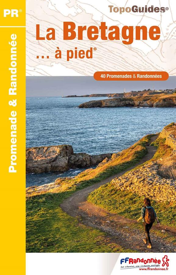
Brittany on Foot - FFRandonnée
40 walks and hikes in Brittany. Explore Côtes d'Armor, Finistère, Ile-et-Vilaine, and Morbihan with this FFRandonnée guidebook.
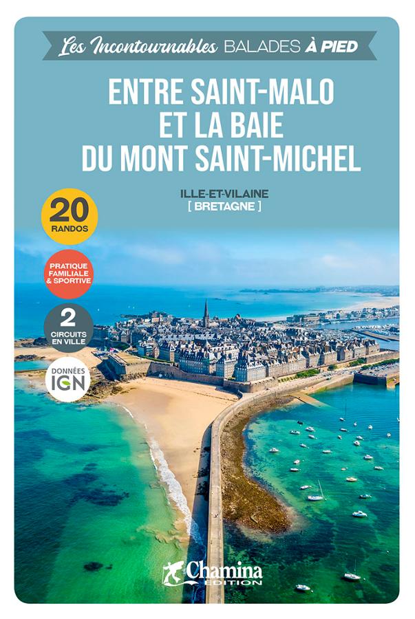
Entre Saint-Malo et la baie du Mont Saint-Michel - balades à pied
Guide de 20 plus belles randos à pied entre Saint-Malo et la baie du Mont Saint-Michel avec descriptifs détaillés et cartes faciles à lire.
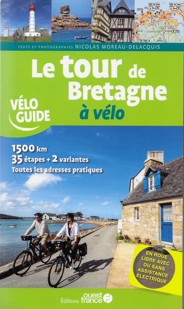
Le Tour de Bretagne à vélo
Guide to cycling around Brittany: complete itinerary from Saint-Malo, 35 stages, detailed maps, must-see sites and tips for discovering Brittany by bike.