


Description
Tourism in the Haut-Rhin department and Territoire de Belfort, on foot and by bike
2024 Edition. The Haut-Rhin, located in Alsace, is an ideal area for tourism on foot and by bike, with its varied landscapes between plains, wine-growing hills, and Vosges mountains. The hiking trails cross atypical villages, dense forests of the PNR des Ballons des Vosges and the famous Alsace Wine Route, offering spectacular views of the vineyards. Take a moment to discover the cities of Colmar, Mulhouse, Belfort and Wittelsheim.
For cyclists, many safe cycle paths allow you to discover the cultural and natural heritage of the region, such as medieval castles, high-altitude lakes, and nature reserves. Whether for a leisurely stroll or a more sporty adventure, the Haut-Rhin offers routes suitable for all levels.
This map includes:
- Historical and cultural heritage information
- Long-distance hiking routes: GR532, GR5, GRE2, GR59, GR533, GR7, GR5F
- Cycle routes, greenways and Eurovélos: La via Romea Francigena, La véloroutes des Fleuves, La Voie Bleue
- To each his own route with ideas for routes for various and varied nature activities.
Features
Name
Carte Haut-Rhin, Territoire de Belfort IGN TOP 100
Length
11 cm
Width
1 cm
Height
25 cm
Weight
0.1 kg
Language
English, French
Scale
1/100 000
Type
Map
This might interest you

Bike tours in Alsace
This bike guide will allow you to discover Alsace from the Haut-Rhin to the Bas-Rhin (includes 29 beautiful walks). € 9.95
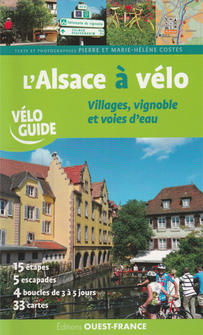
l'Alsace à vélo - villages, vignoble et voies d'eau
Parcourez l'Alsace à vélo sur 750 km avec ce vélo guide. Un itinéraire principal entre Haut-Rhin et Bas-Rhin en 15 étapes, 5 escapades et 4 boucles au départ des grandes villes.
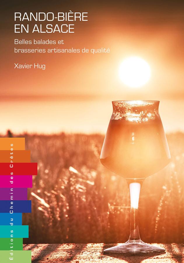
Rando-Bière en Alsace
Ce guide réunit les 30 plus belles balades et brasseries artisanales de qualité en Alsace avec cartes, descriptifs et adresses incontournables.