
Description
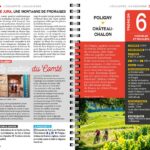
Mountain Bike Guide: The Jura Escape: The Complete Jura Crossing
Experience a true adventure between plains and mountains
Conquer the wild landscapes of the Jura with the essential travel companion. Whether you're a seasoned mountain biker or a casual cycle tourist, this guide opens the doors to a legendary 295 km route connecting Dole to Saint-Claude.
Designed for a 5- to 9-day trip, the Jura Escape guides you through iconic sites like the Les Rousses resort, while revealing the region's best-kept secrets.
Expert content for worry-free preparation
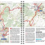
This guidebook doesn't just map out the route; it enriches your experience with a thematic and practical approach:
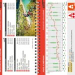
- Terrain Expertise: 14 meticulously scouted stages by bike for complete reliability.
- Precise Mapping: Easy navigation thanks to IGN maps (1:100,000 and 1:50,000).
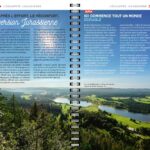
- Culture & Heritage: A comprehensive introduction to understanding the history and geology of the sites you'll pass through.
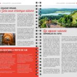
- Stress-Free Logistics: A complete practical guide including accommodations, restaurants, bike repair shops, and information on combining train and bike travel.
Caractéristiques :
- Éditeur : CHAMINA
- Édition : 2026
- Échelle : 1/50 000 et 1/100 000
- Poids : 130 g
- Langue : français
- Dimensions : 21 x 12.5 cm
Features
Name
Cycling guide The Jura Escape – From Dole to Saint-Claude
Width
12.5 cm
Height
21 cm
Weight
0.134 kg
Language
French
Publishers
Chamina
Scale 1/50 000
Scale
1/100 000
weight
160 g
This might interest you
Similar Products
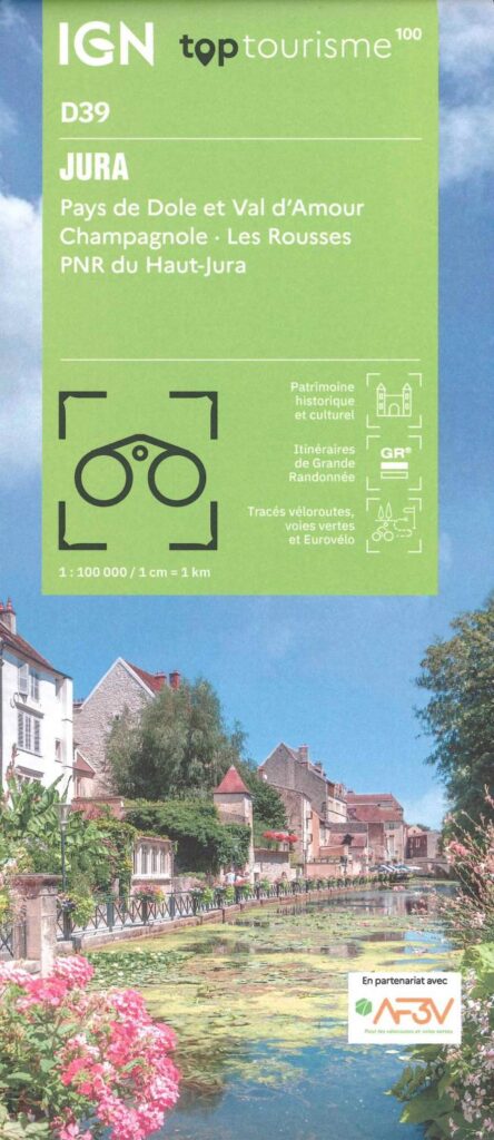
Carte Jura - Pays de Dole, Val d'Amour, PNR du Haut-Jura IGN TOP 100
Ideal for preparing your trip to the Jura with the Haut-Jura PNR. Long-distance hiking routes, cycle routes, greenways and Eurovélos.
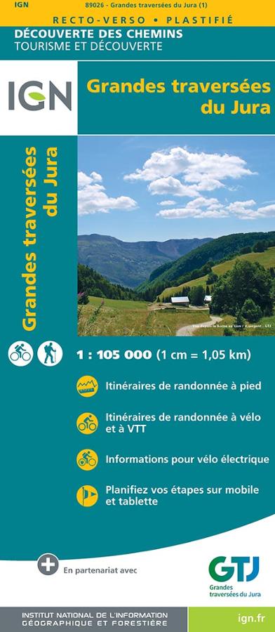
Grandes traversées du Jura - carte IGN
Carte IGN série découverte des chemins au 1/105 000 sur la Grande Traversée du Jura avec itinéraires de randonnées vélo et pédestres et planification des étapes.
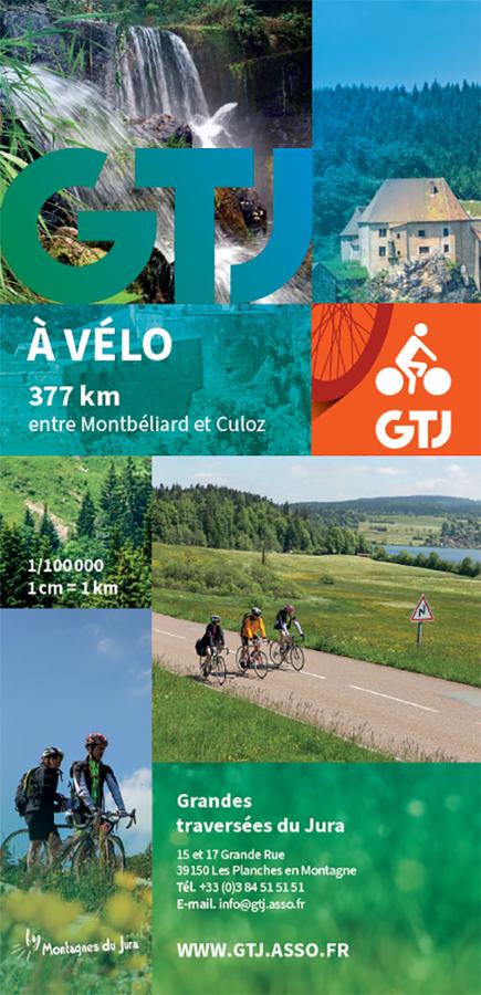
GTJ à vélo carte - Grandes traversées du Jura
Bicycle map on the great crossings of the Jura between Montbéliard and Culoz at 1/100 000 edited by the GTJ association.
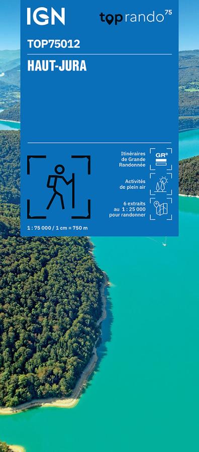
Haut-Jura - IGN maps TOP 75
Carte IGN top 75 Tourisme et Randonnée des itinéraires de randonnée dans le Haut-Jura au 1/75 000 compatible avec le système GPS.
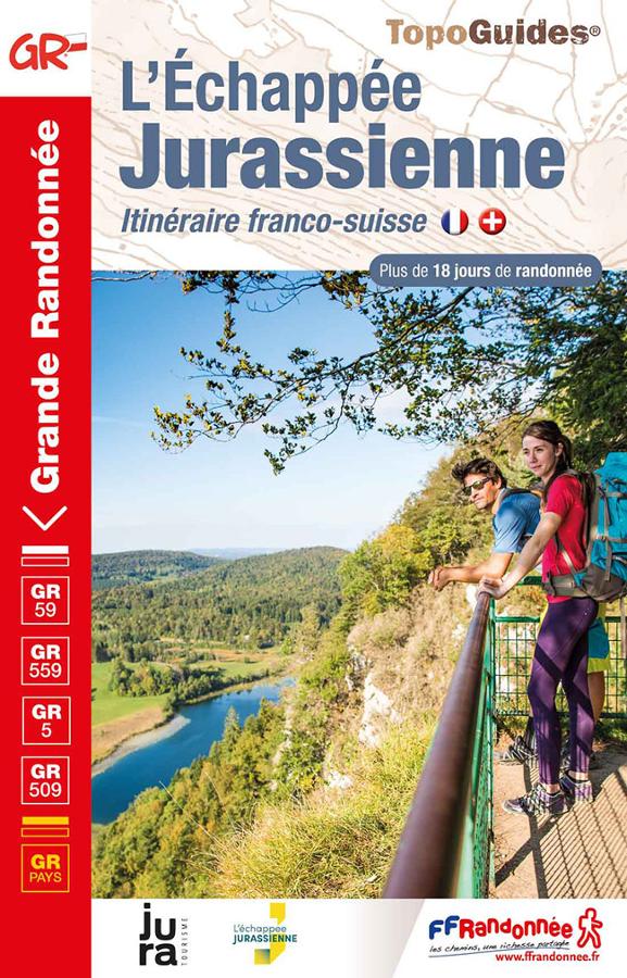
L'échappée Jurassienne- itinéraire franco-suisse GR59-GR559-GR509-GR5
L'itinéraire franco-suisse de l'Echappée Jurassienne, vous traverserez le Jura d'Est en Ouest, dans une nature sauvage où se mêlent traditions, culture, gastronomie