
Description
Loire on foot, hiking guide
From the highlands of Forez, foothills of the Massif Central, to the banks of the Rhône with its Mediterranean ambience, from the hillsides of Roanne, gateway to Burgundy, to the mounts of Lyonnais, the Loire department stretches along the river that gave it its name. This is the Loire as you've never seen it before: Monts de la Madeleine, Monts du Forez, Monts du Matin and the Pilat massif evoke the wide-open spaces that are ideal for hiking in summer and snow sports in winter.
This topo-guide takes you on a tour of the Pays qui font la Loire, inviting you to sample the discreet charm of its villages with their varied heritage.
This guide includes :
Marked itineraries in the field
Walks classified by level of difficulty
FFRandonnée expertise combined with IGN maps
Indispensable practical information
Texts to help you discover the region, accompanied by numerous photographs and illustrations
Ed.2023
Features
Name
La Loire à pied
Length
13.5 cm
Width
0.7 cm
Height
21 cm
Weight
0.2 kg
Language
French
Type
Guide
This might interest you
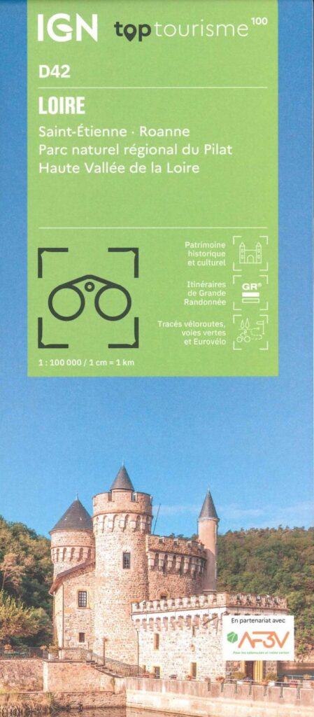
Carte Loire - St Etienne, Roanne IGN TOP 100
This “TopTourisme” card is ideal for preparing your trip on the Loire. With these points of interest, these cycle routes, greenways and these GR. Leave peacefully.
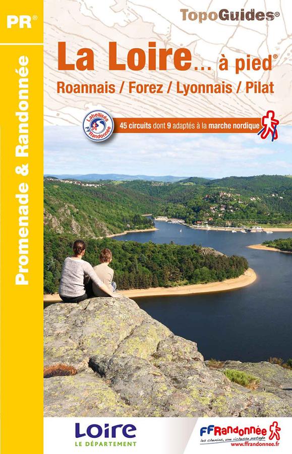
La Loire à pied
Topoguide FFRP Promenades et randonnées avec 45 circuits sur la Loire à pied, Roannais, Forez, Lyonnais et Pilat.