

Description
Bouches-du-Rhône and Provence on foot
Get this hiking guide to prepare your itinerary in Provence, in the Bouches-du-Rhône region around Marseille, near the Calanques and as far as Les Baux-de-Provence. Discover the undergrowth of white limestone ridges, the silvery greens of the garrigues and the olive groves of the Alpilles.
This FFRP guide includes :
- marked itineraries in the field
- walks classified by level of difficulty
- FFRP expertise combined with IGN maps
- essential practical information
- photos and illustrations
Features :
Edition : 2021
Language : French
Dimensions : 21 X 13.4 cm
Number of pages : 128
Weight : 0.200 kgs
Publisher : FFRP
Features
Name
Les Bouches-du-Rhône by foot
Length
13.4 cm
Width
1 cm
Height
21 cm
Weight
0.2 kg
Language
French
Type
Topoguide
This might interest you
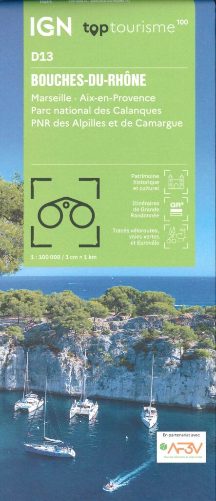
Carte Bouches du Rhône IGN TOP 100
IGN TOP 100 map of Bouches-du-Rhône: ideal for discovering the department on foot, by bike or by car. Perfect for hiking with the GR and Véloroutes. Scale 1:100,000.
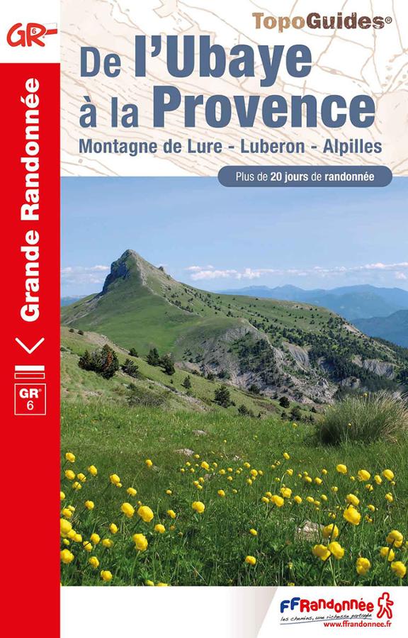
De l'Ubaye à la Provence - GR6
Topoguide FFRP on the last part of the GR® 6, from Bouches-du-Rhône to Alpes-de-Haute-Provence, a 20-day itinerary.
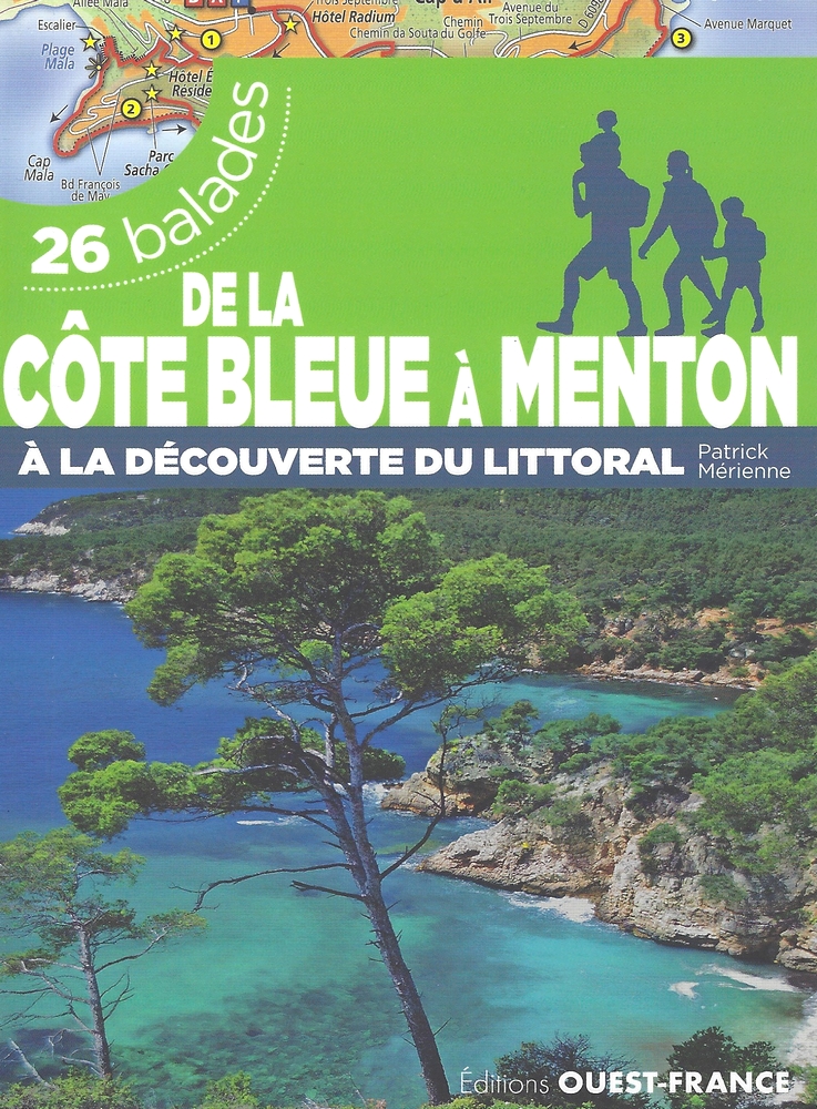
De la Côte Bleue à Menton - 26 balades
Guide de 26 balades réalisables en famille depuis la Côte Bleue jusqu'à Menton par les îles du Frioul, les calanques de Marseille ou la baie de Cannes.