

Description
Luberon: Discovery & Hiking (VTOPO)
This map allows you to discover the Luberon via 16 looped itineraries. There's something for all levels. It includes the starting point, duration, distance, elevation gain, and an introductory text. In addition, the map identifies 12 remarkable sites to visit if you're in the region. The IGN accuracy and map details also allow you to create your own itineraries.
Features:
Edition: 2017
Language: French
Dimensions: 11 x 25 cm
Number of pages: --
Weight: 0.040 kg
Features
Name
Luberon: Hiking Map
Length
11 cm
Width
0.3 cm
Height
25 cm
Weight
0.040 kg
This might interest you
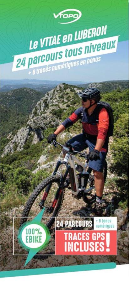
Le VTTAE en Luberon - 24 parcours tous niveaux
Vtopo VTTAE map in Luberon with 24 routes for all levels, 8 bonus digital routes and GPS tracks included.
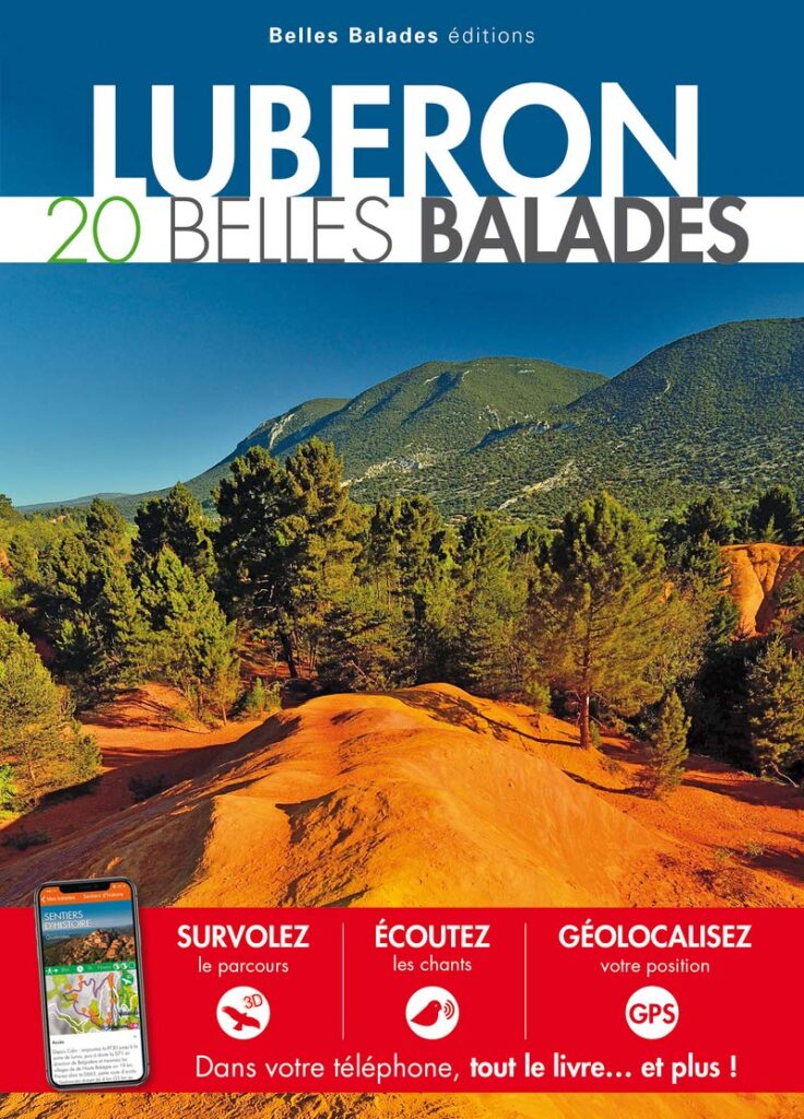
Luberon, 20 belles balades
20 belles balades dans le Luberon entre les rives de la Durance et les cr?tes du Grand Luberon. Appli Belles Balades offerte avec le livre.
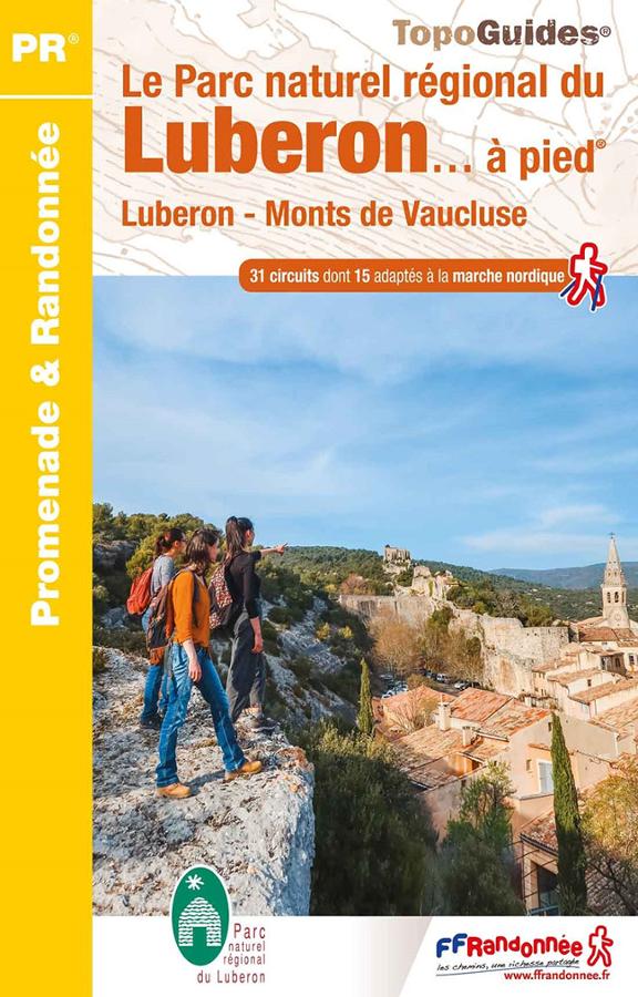
The Luberon Regional Nature Park on foot
31 promenades et randonnées dans le Parc naturel régional du Luberon sont décrites dans ce topo-guide FFRandonnée. Cartes IGN de 1/25 000 à 1/35 000.