Description
North/Central Wales - Cycle Map No. 23
Sustrans publishes 53 cycle maps covering the entire United Kingdom.
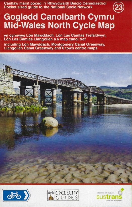
This map, number 23, covers the north-central part of Wales (including Lôn Mawddach, Montgomery Canal Greenway, etc.). It displays the national and regional cycle network at a scale of 1:110,000. There are also six city centre maps.
- Pocket-sized map
- Easy to read
- Clear distinction between shared and dedicated cycle paths
- Details of major towns and cities to visit
Features:
- Edition: 2014
- Language: English
- Dimensions: 10 x 16 cm
- Scale: 1:110,000
- Weight: 0.050 kg
Features
Name
North/Central Wales - Cycle Map No. 23
Length
10 cm
Width
0.2 cm
Height
16 cm
Weight
0.05 kg
Language
English
Publishers
Sustrans
Type
Map
This might interest you
North/Central Wales - Cycle Map No. 23
Sustrans publishes 53 cycle maps covering the entire United Kingdom. This map, number 23, covers North Wales at a scale of 1:110,000.
North/Central Wales - Cycle Map No. 23
Sustrans publishes 53 cycle maps covering the entire United Kingdom. This map, number 23, covers North Wales at a scale of 1:110,000.
North/Central Wales - Cycle Map No. 23
Sustrans publishes 53 cycle maps covering the entire United Kingdom. This map, number 23, covers North Wales at a scale of 1:110,000.