
Description
Falk Netherlands Cycling Atlas
This bike atlas brings together the entire Dutch cycle network and all the nodes to prepare your trip to the Netherlands or on the major cycling routes in Europe such as:
- Eurovelo 2, cycle route of the capitals
- Eurovelo 12, North Sea cycle route
- Eurovelo 15, Rhine cycle route
- Eurovelo 4, cycle route of central Europe
- Eurovelo 19, the Meuse
In the Netherlands, cyclists have their own level crossings and their own traffic lights. The Langeafstand Fietsroutes or LF-routes, long-distance routes, constitute a national network of approximately 3,300 kilometers, signposted in both directions.
All the cards are gathered in this spiral book, convenient to consult. Build your own cycling route in the Netherlands using this handy guide.
The Netherlands Bike Atlas includes:
- Maps at 1/75,000
- LF cycle paths
- network of nodes
- Tourist spots
- Register of place names
- Legend in English, French, Dutch and German.
Characteristics :
- Edition: 2025
- Language: French, Dutch, English, German
- Dimensions: 24 X 15 cm
- Number of pages: 335
- Weight: 0.616 kgs
- Publisher: FALK
Features
Name
Falk Netherlands Cycling Atlas
Length
15 cm
Width
1.5 cm
Height
24 cm
Weight
0.616 kg
Language
Dutch, English, French, German
Type
Guide
This might interest you
Noord-Holland - carte Falk 23
Carte cyclable Falk sur le Nord de la Hollande au 1/90 000 avec noeuds cyclables, réseau d'itinéraires et l'itinéraire historique "Jacob Van Lennep".
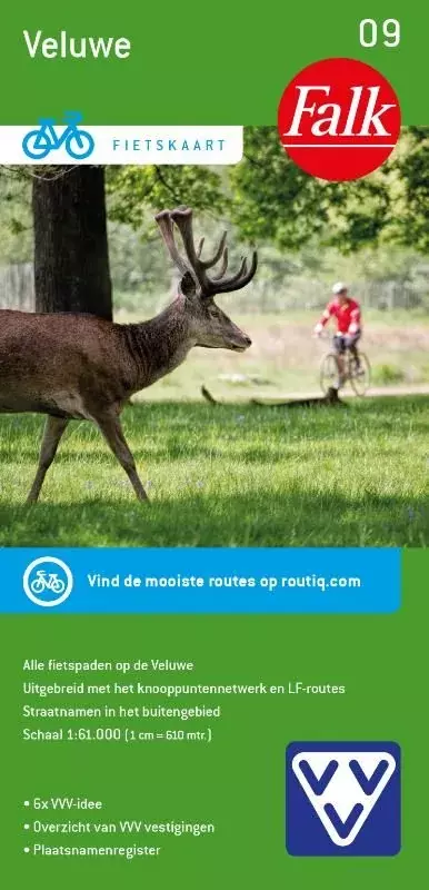
Veluwe - carte vélo 09 FALK
Veluwe 09 FALK region Netherlands 1:50,000 scale bicycle map with tourist information and knots.
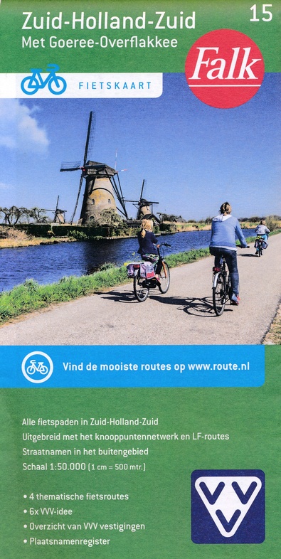
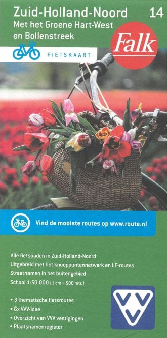
Zuid-Holland-Zuid - Carte 15 FALK
Bike map Netherlands FALK on the part of South Holland around Rotterdam and Delft at 1:50,000 with all LF routes.