

Description
The Southern Alps on Foot
This guide brings together the 50 most beautiful hiking trails for exploring the Southern Alps. The Ecrins Massif, between the cities of Grenoble, Briançon, and Gap, is not only the highest mountain range in France after Mont Blanc, but also boasts the southernmost 4,000-meter peak in the Alps.
In this book, the two authors present 32 hikes around France's largest national park (plus two long-distance hikes) in the Ecrins Massif and the Queyras Massif, as well as 18 trails in Haute-Provence between the Ubaye Valley, Sisteron, and Digne.
This Rother guide includes:
- Reliable and accurate route descriptions
- 50 routes
- Detailed maps
- Informative elevation profiles
- GPS tracks
Features:
- Edition: 2022
- Language: French
- Dimensions: 16.4 x 11.6 cm
- Number of pages: 160
- Weight: 0.180 kg
Features
Name
Southern Alps - Ecrins National Park - Haute-Provence
Length
12 cm
Width
1 cm
Height
16.5 cm
Weight
0.200 kg
Language
French
Type
Guide
This might interest you
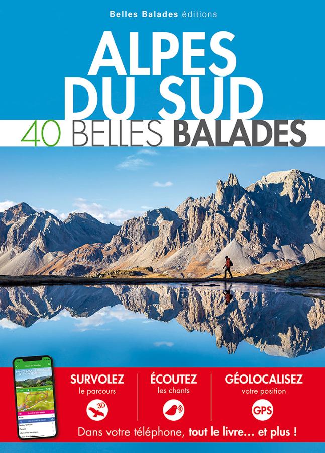
Alpes du Sud - 40 belles balades
Guide to 40 beautiful nature walks in the Southern Alps for all levels.
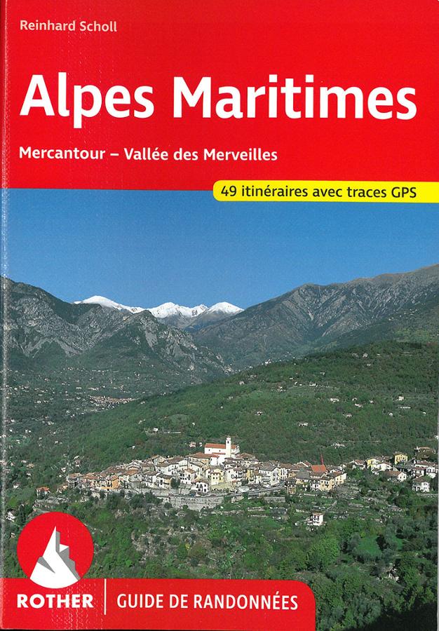
Alpes Maritimes, hiking guide
Rother hiking guide to the Alpes Maritimes, Mercantour, and the Vallée des Merveilles. Selection of 49 routes and variants with GPS tracks.
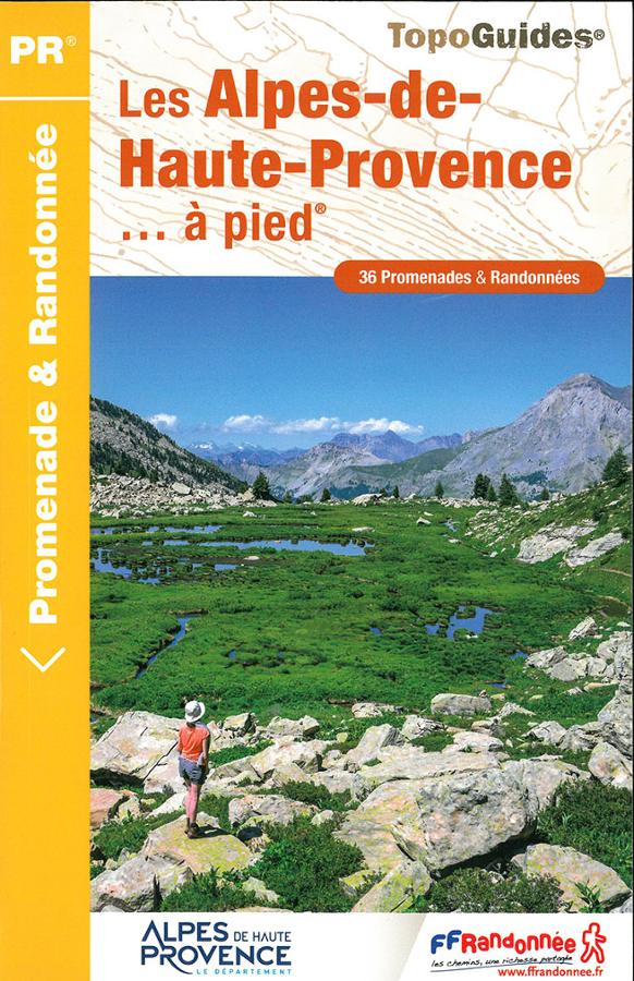
Les Alpes-de-haute-Provence à pied
Topoguide de randonnée FFRP sur les Alpes-de-Haute-Provence à pied avec 36 promenades et randonnées autour de Digne-les-Bains ou Barcelonnette.