

Description
Normandy on Foot
Rother's walking guide to the 50 most beautiful routes in Normandy, selected along the coast and inland, along magnificent beaches and over wild cliffs.
Among the routes, you will find the Nez de Jobourg or the chalk cliffs of the Alabaster Coast.
This guide includes :
Accurate and reliable route descriptions
Detailed hiking maps at scales of 1:12,500 and 1:75,000
Informative elevation profiles
Downloadable GPS tracks
Features:
- Edition: 2022
- Language: French
- Dimensions: 16.4 x 11.6 cm
- Number of pages: 159
- Weight: 0.200 kg
- Publisher: Rother
Features
Name
Normandy, hiking guide
Length
11.6 cm
Width
1 cm
Height
16.5 cm
Weight
0.2 kg
Language
French
Type
Guide
This might interest you
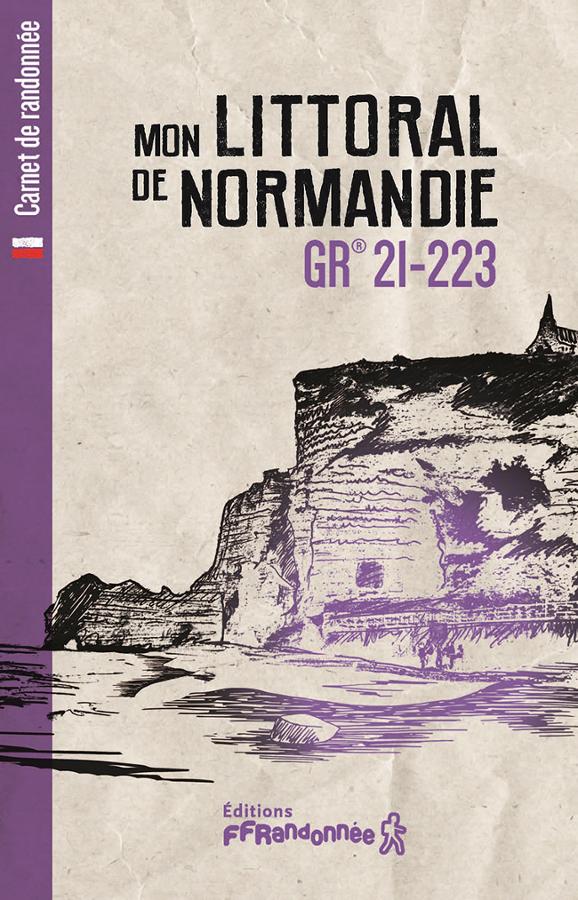
Hiking notebook - My Normandy Coast
Logbook to share your experience during your hike on the Normandy coast GR 21 - 223
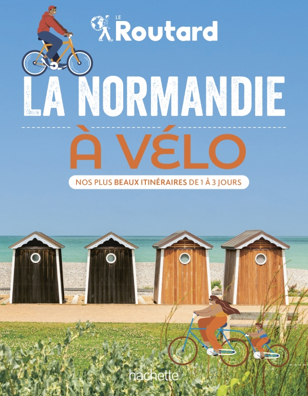
Normandy by Bike
Le Routard guides you while you visit Normandy by bike. This guide comes in a handy format. More than 20 itineraries for cycling through Normandy at your own pace.
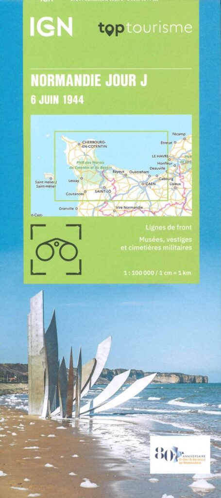
Normandy, D-Day - June 6, 1944 - IGN map
This new edition will allow you to situate and understand this strong moment in our history. In 2024, 80th anniversary of the landing and the Battle of Normandy.
Code name Overlord: hour by hour details of these 2 days where allied soldiers fell to liberate Normandy.