Description
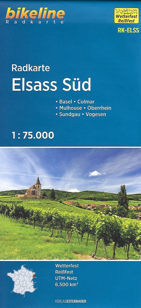
South Alsace cycling map
Around Basel, Colmar, Mulhouse, the Vosges.
Map developed for cyclists at a scale of 1: 75,000, clear topographic base with information on cycling.
The old towpaths along the waterways of the Upper Rhine are ideal for families with children, especially on the route, now well known in Eurovelo 6.
More suitable for athletes, you will also find mountain routes in the Vosges and the Black Forest.
How to read the card:
The main routes in red and purple are mainly long distance links across the region. In the absence of a marked trail, the best routes suitable for cycling have been selected. For short distances, a combination of main roads with the network of secondary roads in orange is ideal.
This map includes a detailed legend with bicycle information, tourist and topographic information. The legend information is in English or German.
Caractéristiques du guide
|
Features
Name
South Elsass, cycle map
Weight
0.15 kg
Eurovelo
Eurovelo 5, Eurovelo 6
Language
English, German