
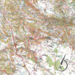
Description
IGN Map of the Way of St. James from Puy-en-Velay to Moissac
This IGN map will help you plan your next pilgrimage on the Way of St. James between Le Puy-en-Velay and Moissac.
This map includes:
- 1:100,000 scale map
- GR65 and other routes
- World Cultural Heritage
- Plan your routes on mobile and table
Features:
- Edition: 2023
- Language: French
- Dimensions: 23.8 x 11.1 cm
- Weight: 0.110 kg
- Publisher: IGN
Features
Name
St-Jacques-de-Compostelle du Puy-en-Velay à Moissac - carte IGN
Length
23.8 cm
Width
11.1 cm
Height
0.5 cm
Weight
0.1 kg
Language
English, French
Publishers
IGN
This might interest you
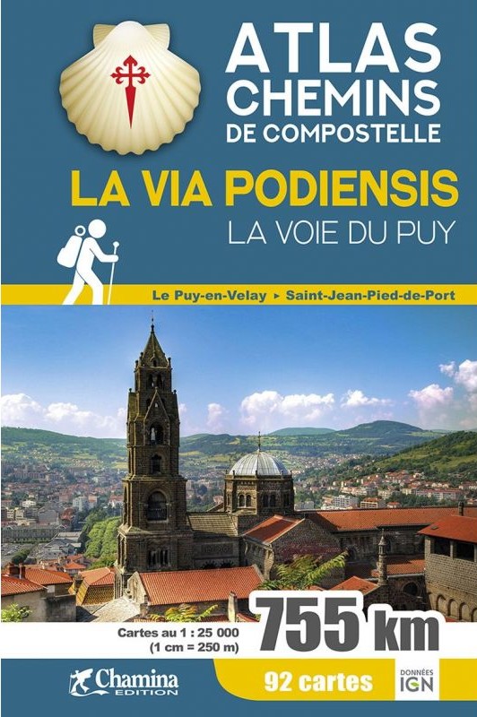
Atlas Chemins de Compostelle | La Via Podiensis GR65
Cet Atlas des Chemins de Compostelle contient l'ensemble du trac? de la Via Podiensis avec fond de carte IGN au 1/25 000.
15,00€
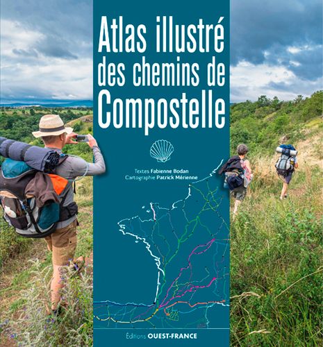
Atlas illustré des chemins de Compostelle
Un ouvrage illustré unique réalisé par deux passionnés de la randonnée sur les 6 grandes voies de Compostelle en France et en Espagne.
30,00€
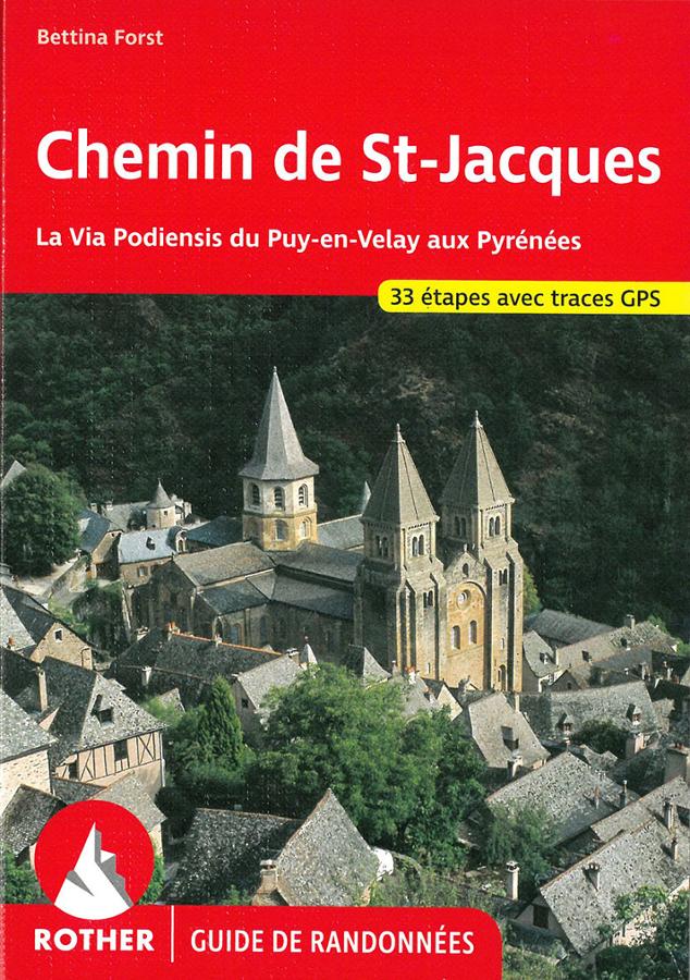
Chemin de St Jacques - la Via Podiensis du Puy-en-Velay aux Pyrénées
Rother Guide to the Way of St. James, the Via Podiensis from Puy-en-Velay to the Pyrenees in 33 stages with GPS tracks and practical information.
18,00€