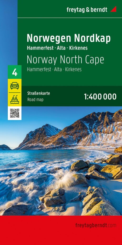
Description
A road map for exploring the North Cape
The North Cape & Hammerfest Freytag & Berndt road map is ideal for planning a trip to the Norwegian Far North. It covers the far north of Norway, including the famous North Cape, Hammerfest, and the vast Arctic landscapes.
This map allows you to visualize roads, distances, terrain, and access to the main destinations in northern Scandinavia. It is particularly useful for organizing a road trip by car, motorcycle, van, or campervan, as well as for planning your cycling trip.
Furthermore, the map extends beyond Norway. It also covers areas of northern Sweden and Finland. This is a real advantage for planning a cross-border itinerary in Northern Europe.
Ideal for a road trip in Northern Norway
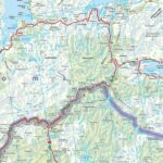
This 1:400,000 scale map offers a clear view of the territory. It allows you to plan the main stages without losing sight of the distances.
The North Cape is a legendary destination for travelers. Along the way, the landscapes alternate between fjords, plateaus, tundra, islands, harbors, and scenic roads. The map helps to better understand the layout of the region and plan routes.
In Norway, maritime connections are essential. Therefore, the information on ferries and coastal connections is very useful. It allows you to plan your itinerary with greater peace of mind.
A practical tool for traveling in Scandinavia
This Freytag & Berndt map is designed for travelers on the go. It can be used before departure to plan your route. It is also useful once you are there, in addition to a GPS or travel guide.
The relief representation helps to better understand the landscapes you will be traveling through. Furthermore, the multilingual legend, including French, makes it easy for French-speaking travelers to use.
Finally, this map complements other regional maps of Norway very well. It is particularly suitable for those wishing to reach the North Cape or explore the northernmost reaches of Scandinavia.
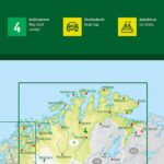
Map Highlights:
- Road map dedicated to the North Cape and Hammerfest
- Covers the far north of Norway
- Also includes areas of northern Sweden and Finland
- Scale 1:400,000
- Relief depicted
- Maritime connections indicated
- Useful tourist information
- Multilingual legend, including French
- Map No. 4 in the Freytag & Berndt Norway regional series
FAQ
What area does this North Cape & Hammerfest map cover?
This map covers the far north of Norway, including the North Cape and Hammerfest. It also includes border areas in northern Sweden and Finland.
Is this map suitable for a road trip in Norway?
Yes. It's ideal for planning a road trip in northern Norway, whether by car, motorcycle, van, or campervan.
Does the map show ferries?
Yes. Ferry connections are marked. This is very useful in northern Norway, where ferries and coastal connections can be part of the trip.
What is the scale of this map?
The scale is 1:400,000. This means that 1 cm on the map corresponds to 4 km on the ground.
Is the map in French?
Yes, the legend is multilingual and includes French. It is therefore easily usable by French-speaking travelers.
Features
Name
Carte touristique Norvège Cap Nord
Length
13 cm
Height
25 cm
Weight
0.144 kg
Language
French English German
pubication
2026
Scale
1/400 000