
Description
Toprando maps for discovering and exploring the Catalan Pyrenees
Toprando's top75 maps will delight two-wheelers (bicycles/motorcycles), four-wheelers, and hikers! They feature a complete and detailed road, cycling, and hiking network.
IGN TOP75 maps are particularly suited to hiking, thanks to the integration of all the essential information for planning and enjoying a successful experience:
- The local road network, the GR® and GR® de Pays marked by the FFRandonnée (French Hiking Federation) to plan your route and easily find your way around.
- Outdoor activity sites (hiking departure points, hang-gliding areas, climbing sites, etc.)
- A 1:75,000 map and five 1:25,000 maps
- Contour lines, elevations, rocky areas, and glaciers to estimate the difficulty of a route. Stopover lodges and mountain huts to help you plan your various hiking stages.
- An index of towns and villages
- Tourist and cultural information (viewpoints, remarkable buildings, castles, caves, etc.) to enhance your journey.
- A GPS grid makes it easy to navigate the map based on the position (in X and Y) provided by your GPS.
Unparalleled precision with TOP25 extracts
For even more detailed information, this TOP75 map includes five TOP25 extracts (scale 1:25,000), allowing you to plan hikes to exceptional sites such as Font-Romeu or Puig du Coma d'Or. IGN's 1:25,000 map is renowned for its accuracy and is an ideal compromise for the most demanding hikers and mountaineers.
The Catalan Pyrenees, an exceptional place
The Catalan Pyrenees stretch across the French-Spanish border, offering landscapes blending high mountains, charming villages, and centuries-old traditions. Dominated by iconic peaks such as the Canigou peak, they are an ideal playground for hiking, skiing, and water sports. The richness of their cultural heritage is reflected in the Romanesque architecture of their churches, the warmth of their local festivals, and Catalan cuisine, which combines authenticity and Mediterranean flavors.
Characteristics:
- Edition: 2025
- Languages: French, English, German
- Dimensions: 25.5 x 11 cm
- Weight: 0.110 kg
- Publisher: FFRP
Features
Name
Carte IGN - Pyrénées Catalanes
Length
11 cm
Width
0.5 cm
Height
25.5 cm
Weight
0.110 kg
Language
English, French, German
Type
Map
This might interest you
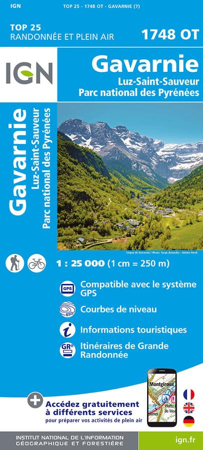
Gavarnie - Carte IGN TOP 25
IGN TOP 25 1748OT map around Gavarnie, Luz-Saint-Sauveur and in the heart of the Pyrenees National Park with all the long distance hiking routes.
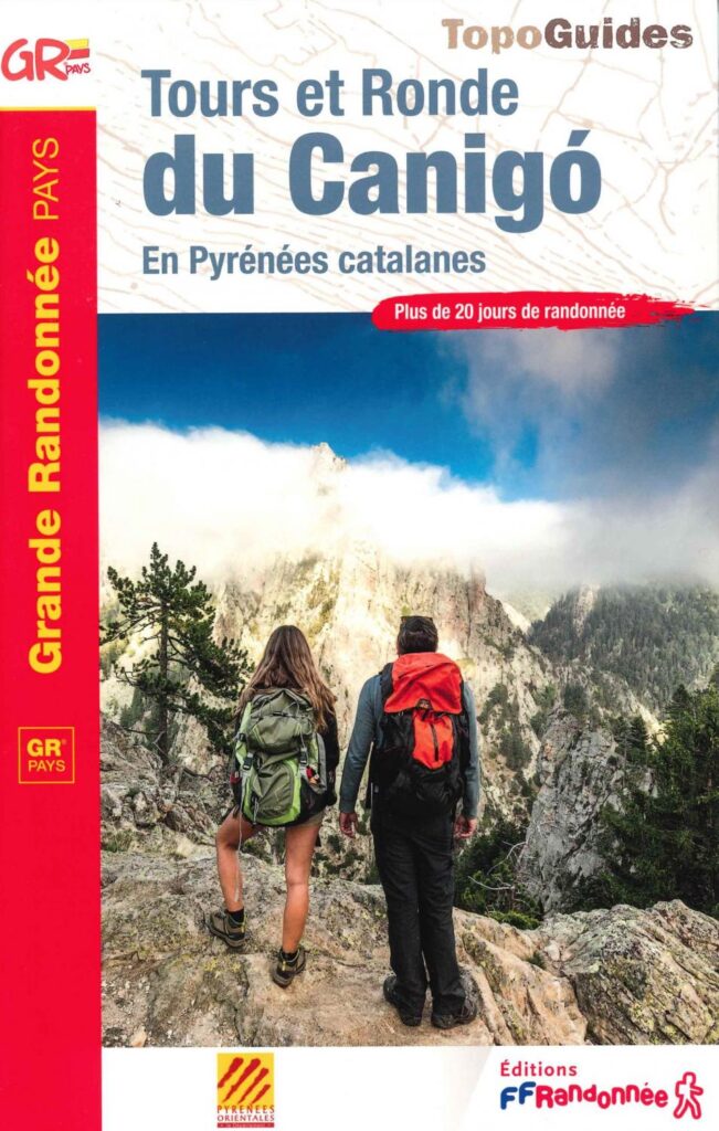
Tours and Round of Canigo
This hiking guide offers you 4 circuits on the GR® 10, GR® 36 and GR® trails of Pays des Pyrénées Catalanes. More than 20 days of hiking with exceptional panoramas.
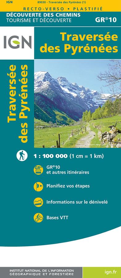
Traversée des Pyrénées - GR10 - Carte IGN
Carte IGN série découverte des chemins sur le GR10, la traversée des Pyrénées au 1/100 000 avec bases VTT et planification des étapes.