Description
A complete guidebook for hiking the GR®34 in Morbihan
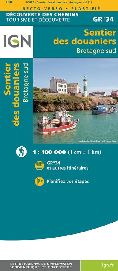
This guidebook accompanies hikers on the GR®34 from Lorient to La Roche-Bernard. Also known as the Customs Officers' Path, this long-distance trail follows the Morbihan coastline. It crosses diverse maritime landscapes, passing through harbors, beaches, islands, peninsulas, and coastal paths.
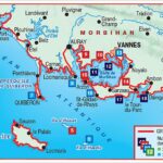
The main route takes 22 days to hike, covering approximately 510 km. It notably passes through the Quiberon peninsula, Carnac, Auray, and Vannes. Hikers will discover the Breton coast, megalithic heritage sites, and several towns and cities of art and history.
Belle-Île, Groix, Houat, and Hoëdic are also included
In addition to the GR®34, this guidebook describes the GR® de Pays Tour de Belle-Île-en-Mer. This 4-day, 79-km loop offers a wonderful immersion in the landscape, with cliffs, moors, harbors, and sweeping ocean views.
In addition, 19 day or half-day walks complement the guidebook. These walks allow you to explore the islands of Groix, Houat, and Hoëdic. It's a useful guide for long-distance hiking trips, but also for shorter hikes during a stay in Morbihan.
A practical guide to planning your hiking trip
This FFRandonnée guidebook is designed to help you plan your stages precisely. It helps you organize a multi-day hike, a short break, or a simple day outing.
The routes allow you to discover several major sites in Morbihan. First, the Quiberon peninsula and its rugged coastline. Then, Carnac and its famous megalithic sites. Finally, Auray, Vannes, and the landscapes of the Gulf of Morbihan.
This new 2026 edition also includes 6 brand-new day or half-day hikes. It's a real bonus for refreshing your hiking ideas and discovering the Morbihan coastline in a new way.
Highlights of the guidebook:
- 22 days of hiking on the GR®34
- Approximately 510 km from Lorient to La Roche-Bernard
- Passing through Quiberon, Carnac, Auray, and Vannes
- GR® de Pays Tour of Belle-Île-en-Mer
- 4-day, 79 km loop on Belle-Île
- 19 day or half-day walks
- Hikes on the islands of Groix, Houat, and Hoëdic
- 6 new hikes in this edition
- FFRandonnée guidebook, reference 561
- New 2026 edition, 11th edition
FAQ
Which section of the GR®34 does this guidebook cover?
This guidebook covers the GR®34 long-distance hiking trail from Lorient to La Roche-Bernard. It crosses a large part of the Morbihan coastline, passing through Quiberon, Carnac, Auray, and Vannes.
Does the guide include Belle-Île-en-Mer?
Yes. It describes the GR® de Pays Tour de Belle-Île-en-Mer, a 4-day, 79-km hike through cliffs, moors, harbors, and seascapes.
Can this guide be used for day hikes?
Yes. The guide also offers 19 day or half-day walks. Some of these allow you to discover Groix, Houat, and Hoëdic.
Is this guidebook suitable for a multi-day hike?
Yes. It is designed to help plan a 22-day hike on the GR®34. It is also suitable for hikers who want to walk in sections.
What's new in this edition?
This 2026 edition includes 6 brand new full-day or half-day hikes. It therefore offers the opportunity to discover new routes in Morbihan.
Features
Name
Topoguide GR®34 – Le littoral et les îles du Morbihan
Weight
0.2 kg
GR
GR34
Language
French
Publishers
FFRP
Type
Guide