

Description
Toprando maps to discover and explore the Haut-Jura Regional Natural Park
The Top75 Toprando maps will delight two-wheelers (bicycles/motorcycles), four-wheelers, and hikers! Featuring a complete and detailed road, cycle, and pedestrian network.
The IGN TOP75 maps are particularly suited to hiking, thanks to the integration of all the essential information for planning and enjoying a successful hiking experience :
- The local road network, the GR® and GR® de Pays marked by the FFRandonnée (French Hiking Federation) to help you plan your route and easily find your way.
- A 1:75,000 map and six 1:25,000 maps
- Contour lines, spot elevations, rocky areas, and glaciers to help you estimate the difficulty of a route.
- Stopover lodges and mountain huts to help you plan your different hiking stages.
- An index of towns and villages
- Tourist and cultural information (viewpoints, remarkable buildings, castles, caves, etc.) to enhance your journey.
- A GPS grid to facilitate navigation on the map based on the position (in X and Y) provided by your GPS.
Unparalleled precision with TOP25 excerpts
For even more detailed information, this TOP75 map includes six TOP25 excerpts (1:25,000 scale), allowing you to plan hikes to exceptional sites such as Roche Fauconnière or Col de la Faucille. The 1:25,000 IGN map is renowned for its precision and is an ideal compromise for the most demanding hikers and mountaineers.
The Haut-Jura, an exceptional place
The Haut-Jura Regional Nature Park stretches along the border between France and Switzerland, in the heart of a preserved massif renowned for its wild landscapes, fir forests, and alpine lakes. This region, which reaches an altitude of nearly 1,700 meters, is home to exceptional biodiversity and a vibrant cultural heritage, as evidenced by its picturesque villages, traditional crafts, and gastronomy (including the famous Comté cheese). Hiking, mountain biking, cross-country skiing, or simply observing the flora and fauna: the Haut-Jura offers all nature lovers a refreshing break to the rhythm of the seasons.
Features:
- Edition: 2025
- Languages: French, English, German
- Dimensions: 25.5 x 11 cm
- Weight: 0.110 kg
- Publisher: FFRP
Features
Name
Haut-Jura - IGN maps TOP 75
Length
11 cm
Width
0.5 cm
Height
25.5 cm
Weight
0.110 kg
Language
English, French, German
Type
Map
This might interest you
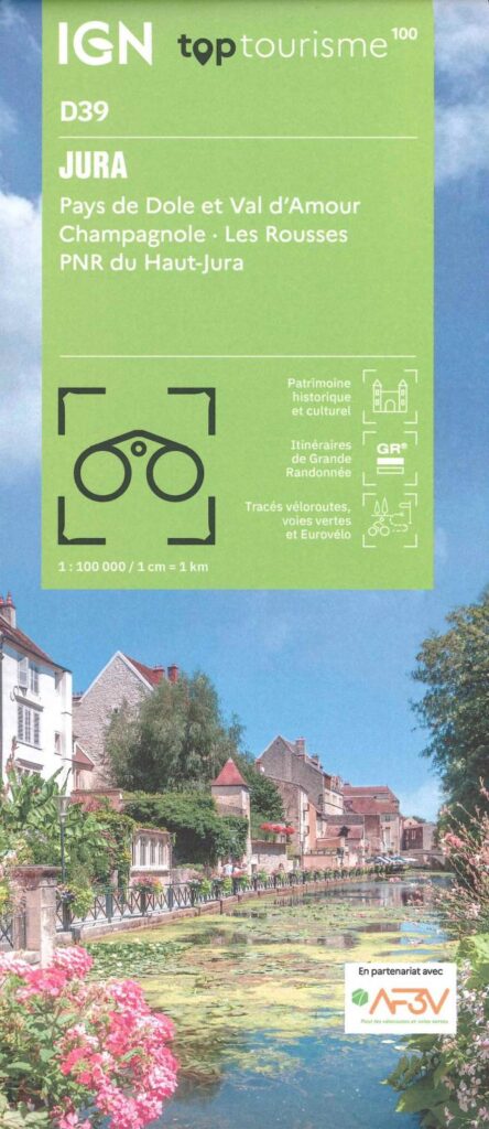
Carte Jura - Pays de Dole, Val d'Amour, PNR du Haut-Jura IGN TOP 100
Ideal for preparing your trip to the Jura with the Haut-Jura PNR. Long-distance hiking routes, cycle routes, greenways and Eurovélos.
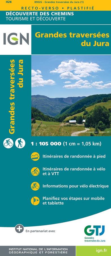
Grandes traversées du Jura - carte IGN
Carte IGN série découverte des chemins au 1/105 000 sur la Grande Traversée du Jura avec itinéraires de randonnées vélo et pédestres et planification des étapes.
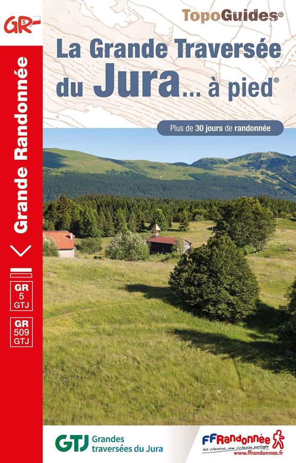
La Grande Traversée du Jura à pied - GR5-GR9-GRPAYS-GR509
Topoguide FFRP sur la grande traversée du Jura à pied. Plus de 30 jours de randonnée dans des sites naturels grandioses du Doubs à l'Ain.