
Description
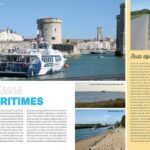
Hiking on the islands of Oleron and Aix
This hiking guide lists 20 walks to discover the islands of Oleron and Aix following a rigorous selection. The book includes a practical notebook, pages dedicated to heritage discovery, detailed descriptions and easy-to-read maps.
The hikes are adapted to both family and sports activities. Among the proposed circuits, two are city routes.
Characteristics:
- Edition : 2023
- Language : French
- Dimensions : 21 X 14 cm
- Number of pages : 48
- Weight : 0.130 kg
- Publisher : Chamina
Features
Name
Ile d'Oléron - Ile d'Aix
Length
14 cm
Height
21 cm
Weight
0.13 kg
Language
French
Type
Guide
This might interest you
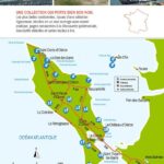
Carte IGN, Ile d'Oléron (île d'Aix) 1330 OT
Carte IGN de randonnée et plein air, à pied ou à vélo, sur l'île d'Oléron au 1 : 25 000 (1 cm = 250 m)
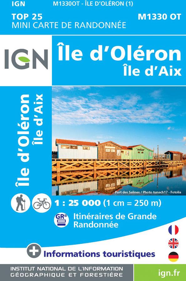
Ile d'Oléron - Ile d'Aix - Mini carte IGN
Mini carte IGN de randonnée à vélo et à pied M1330 OT sur l'île d'Oléron et l'île d'Aix avec les itinéraires de grande randonnée.
Ile d'Oléron, Marennes-Rochefort - 25 balades
15 balades sur l'île d'Oléron et 9 balades sur Rochefort, Marennes et son bassin. Guide de randonnée pédestre Ouest France.