
Description
Topoguide on the tour of the Volcanoes of Velay
Discover the massifs and volcanoes of the Velay up to Puy-en-Velay. This topoguide proposes a 1 to 9 days hike on the GR® 40 and the GR® 3 with the Mont-Bar, emblematic volcano of Velay and its exceptional panoramas on the granite plateau of La Chaise-Dieu.
You will cross varied natural landscapes through forests, lagoon blue or emerald green lakes.
The FFRP topoguide includes :
- descriptions of marked, maintained and secured trails
- Suitable for multi-day hikes, backpacking
- a practical tool to prepare your route with stages, accommodations and means of access
- FFRP expertise associated with IGN maps
Characteristics :
- Edition : 2023
- Language : French
- Dimensions : 21 X 13.5 cm
- Number of pages : 96
- Weight : 0.150 kg
- Publisher : FFRP
Features
Name
Tour des Volcans du Velay - GR® 40 et le GR® 3
Length
13.5 cm
Height
21 cm
Weight
0.15 kg
Language
French
Type
Topoguide
This might interest you
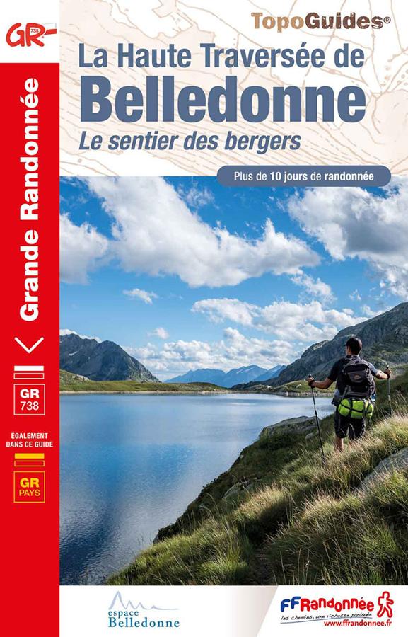
La Haute traversée de Belledonne - le sentier des bergers GR®738
Topoguide FFRP on the GR® 738, the high crossing of Belledonne on the shepherds' path with more than 10 days of backpacking.
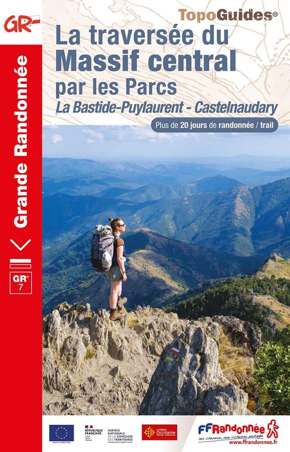
La traversée du Massif central par les Parcs
Topo-guide FFRP for hiking on the crossing of the Massif Central by the Parks La Bastide-Puylaurent - Castelnaudary with more than 20 days of hiking / trail.
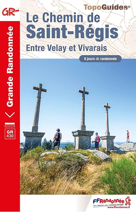
Le Chemin de Saint-Régis en Velay et Vivarais - GR430
Topoguide de randonnée FFRP sur le Chemin de Saint-Régis sur le GR430 entre Velay et Vivarais avec 9 jours de randonnée, cartes IGN et informations pratiques.