
Description
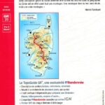
Corsica, between sea and mountain
Discover the incomparable beauty of the Corsican landscapes through this FFRP topoguide which includes 16 days of hiking between sea and mountains.
You take the GR20 to cross Haute-Corsica via Calenzana, Vizzavona to reach Conca.
You will enjoy seascapes near the Corsican coastline and the Gulf of Porto but also mountain landscapes and climbs near Mont d'Oro or the Aiguilles de Bavella.
The FFRP topoguide includes :
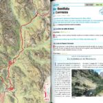
- Description of the marked, maintained and secured trails
- Suitable for everyday hiking
- A practical tool to prepare the itinerary with accommodation, stages and means of access
- The FFRP expertise associated with IGN maps
Characteristics
- Edition : 2024
- Language : French
- Dimensions : 21 X 13.5 cm
- Number of pages : 112
- Weight : 0.180 kg
- Publisher : FFRP
Features
Name
Corsica GR20 - between sea and mountains
Length
13.5 cm
Height
21 cm
Weight
0.24 kg
GR
GR20
Language
French
Type
Topoguide
This might interest you
Hiking guide on crossing the Corsican mountain GR20
Customizable logbook or "bullet journal" to describe your hiking experience on the GR20.
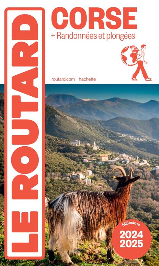
Corse + randonnées et plongées - Routard
The Routard guide to Corsica with hikes and dives to make the most of your stay with the Routard favourites
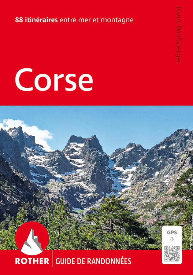
Corsica, 88 itineraries along the coast and in the mountains of the Isle of Beauty
Rother hiking guide to Corsica with 88 itineraries with GPS tracks between sea and mountains.