
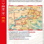
Description
Topoguide to Mont Lozère and Causse Méjean tours
You're in the last foothills of the Massif Central before the Cévennes valleys. Discover this solitary land of moors and granite, authentic and welcoming, through 10 days of hiking in a land of multiple contrasts.
Plan your itinerary on the GR 68 and GR 6 to discover Mont Lozère and Causse Méjean.
The FFRP topoguide includes:
- Description of marked, safe and well-maintained trails
- Suitable for backpacking over several days
- An indispensable practical tool for preparing your itinerary, including stages, accommodation, access...
- FFRP expertise combined with IGN maps
Features :
- Edition: 2023
- Language : French
- Dimensions : 21 X 13.5 cm
- Number of pages : 96
- Weight : 0.160 kg
- Publisher : FFRP
Features
Name
Tours du Mont Lozère et du Causse Méjean
Length
13.5 cm
Height
21 cm
Weight
0.16 kg
Language
French
Type
Topoguide
This might interest you
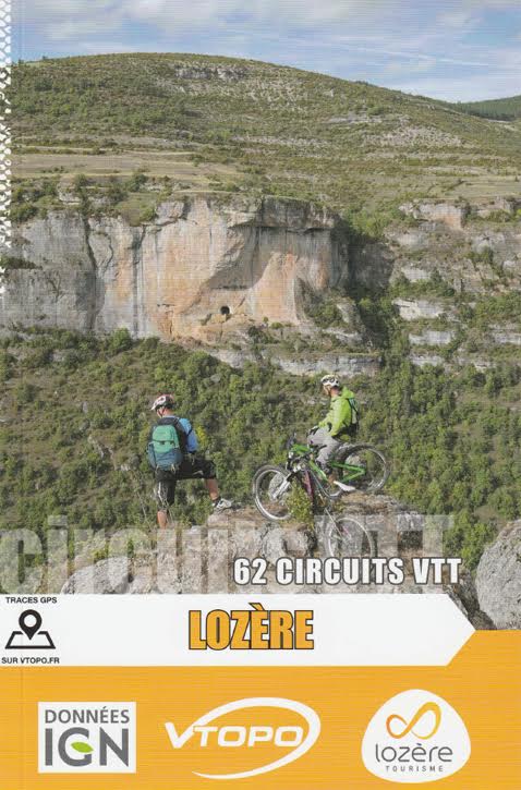
Mountain biking in Lozère, Vtopo
Lozère Mountain Biking Guide. Discover 62 mountain biking routes for everyone, from family outings to more technical routes, to discover the potential of this part of Lozère.
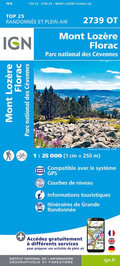
Mont Lozère - Florac - Carte IGN TOP 25
Carte IGN TOP 25 randonnée et plein air sur le Mont Lozère, Florac et le parc national des Cévennes avec itinéraires de Grande randonnée.