
Description
Kompass Mont Blanc hiking map
This hiking map lets you plan your cycling or walking trip around Mont Blanc, Courmayeur and Chamonix with detailed 1:50,000 maps.
The Kompass map includes :
- 1:50,000 scale map
- Tear-proof, water-resistant map
- Tourist information and accommodation
- Difficulty levels and contour lines
- Legends in German, Italian and English
Specifications:
- Edition: 2023
- Language: English, German, Italian
- Dimensions: 20 X 12 cm
- Scale : 1/50000
- Weight : 0.180 kgs
- Publisher : Kompass
Features
Name
Mont Blanc - Chamonix - Courmayeur - carte randonnée Kompass 85
Length
12 cm
Height
20 cm
Weight
0.19 kg
Language
English, German
This might interest you
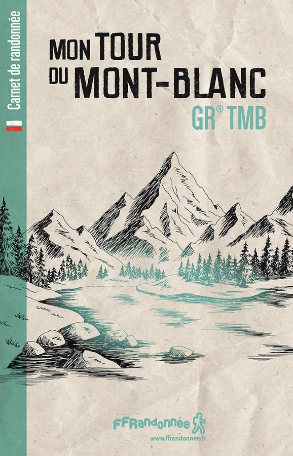
Hiking notebook - Mon Tour du Mont-Blanc GR® TMB
Logbook to describe your hiking experience on the GR® TMB Tour du Mont-Blanc.
14,40€
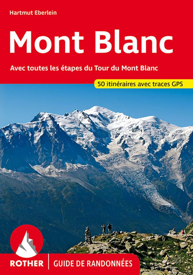
Mont Blanc Hiking Guide
50 hikes in the surroundings of Chamonix, Argentière, Martigny, St-Gervais and Courmayeur - with all the stages of the Tour du Mont Blanc around the most beautiful peak in the Alps.
18,99€