
Description
Hiking on the Route
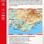
This hiking route on the GR69 was created from old transhumance trails to discover pastoral farming.
You can plan 30 days of hiking between the Provencal plains and the Alpine valleys of Piedmont in this rich Franco-Italian environment.
The Routo route allows you to discover the Alpilles regional natural park, the Ste Victoire mountain, the Valensole plateau and the Demontzey forest park.
This hiking guide includes:
- IGN maps
- Marked routes in the field
- Walks classified by level of difficulty
- Essential practical information
- Photos to discover the region
Features :
- Edition: 2023
- French language
- Dimensions: 21 x 13.50 cm
- Number of pages: 160
- Weight: 0.260 kg
- Publisher: FFRP
Features
Name
La Routo, de la Provence aux Alpes par les drailles - GR®69
Length
13.5 cm
Height
21 cm
Weight
0.26 kg
Language
French
Type
Topoguide
This might interest you
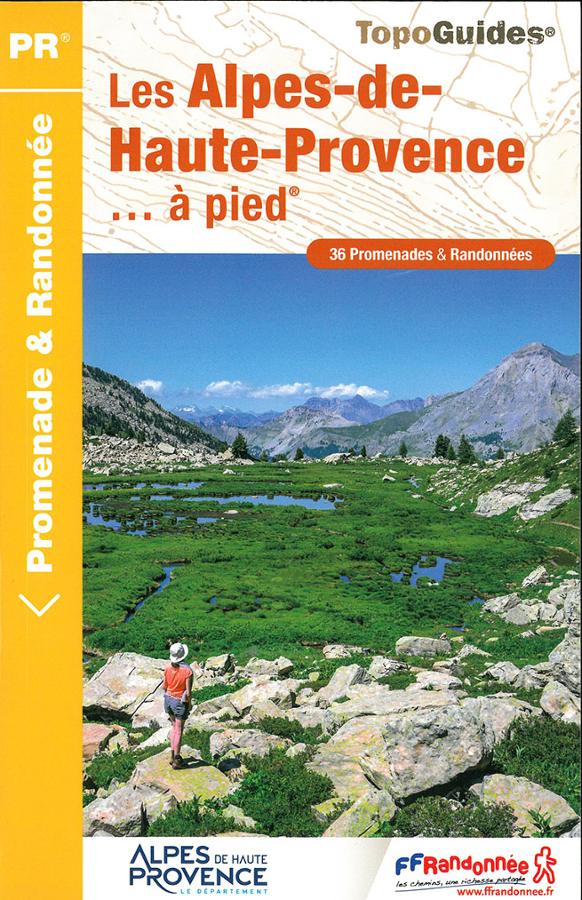
Les Alpes-de-haute-Provence à pied
Topoguide de randonnée FFRP sur les Alpes-de-Haute-Provence à pied avec 36 promenades et randonnées autour de Digne-les-Bains ou Barcelonnette.
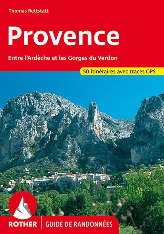
Provence - walking guide
Rother hiking guide on Provence between Ardeche and Gorges du Verdon, from Mont Ventoux to Calanques with 50 itineraries and GPS tracks.