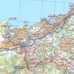
Description
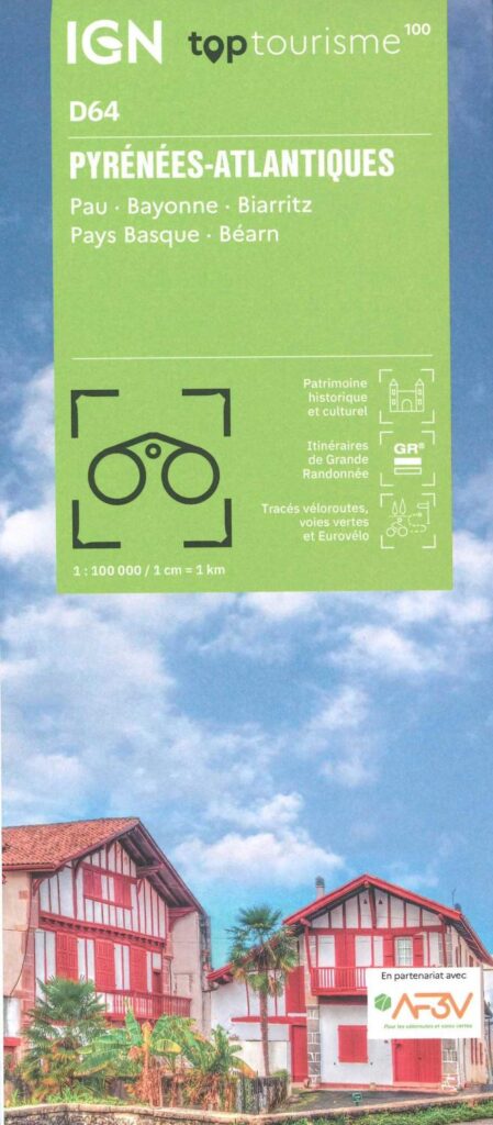
IGN Atlantic Pyrenees map
The TOP 100 series returns with a complete revision including an updated departmental breakdown. With its new scale of 1:100,000 (1 cm = 1 km), the TOP 100 offers the perfect map for exploring a region and practicing tourism on foot (GR), by bike or by car. The cycle routes are specially designed in partnership with the AF3V association - VéloRoutes et Voies Vertes, guaranteeing a safe and enriching experience.
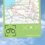
This map includes points of interest such as:
- Historical and cultural heritage,
- Outdoor activities: climbing, hang gliding, reserve, park and garden
- Accommodation: Refuges, campsites, lodges
GRs and their variants:
- GR10-GRE9 from Hendaye to Barège
- GR65-GRE3-GRE9
- GRP D’Orthe
- GR78
- GR108
- GRT22
- GR101
Cycle routes, greenways and Eurovélo
- Eurovélo 1
- Eurovelo 3
- Cycle routes: Vélodyssée and Southern Scandibérie
Around the cities of Pau, Bayonne, Biarritz, the Basque Country and Béarn.
Everyone has their own route with route ideas for diverse and varied nature activities.
Features :
- Edition: 2024
- Language: French, English, German
- Dimensions: 25 x 11.1 cm
- scale: 1/100,000
- Weight: 0.100 kgs
- Publisher: IGN
Features
Name
Carte Pyrénées Atlantiques - Pau, Bayonne, Biarritz, Pays Basque et le Béarn IGN TOP 100
Length
11 cm
Width
1 cm
Height
25 cm
Weight
0.100 kg
Language
English, French, German
Type
Map
This might interest you
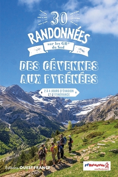
30 randonnées sur les GR® du sud, des Cévennes aux Pyrénées
Ouest-France guide to the 30 most beautiful hikes on the FFRandonnée marked hiking trails between the Cévennes and the Pyrenees over 2 to 4 days.
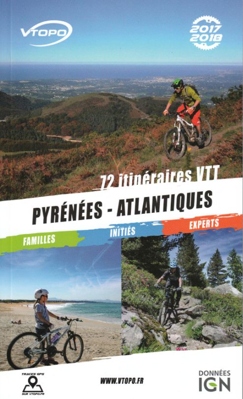
Vtopo Pyrénées-Atlantique
Discover this Vtopo guide in the heart of the Pyrénées Atlantiques. Whether you are in families, insiders or experts, these 72 mountain bike routes are made for you.