
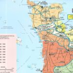
Description
Normandy, D-Day - June 6, 1944
This new edition will allow you to situate and understand this strong moment in our history. In 2024, 80th anniversary of the landing and the Battle of Normandy.
Code name Overlord: hour by hour details of these 2 days where allied soldiers fell to liberate Normandy.
This card includes:
- The front lines
- Museums, military remains and cemeteries, commemorative monuments
- D-Day Landing Beaches Tour
- Allied Forces Positions
- Overlord Plane
- Army corps, regiments, brigades, German forces, parachute zone, ...
Features :
- Edition: 2024
- Language: French, English, German
- Flat dimension: 121 x 100 cm
- Folded size: 25 x 11.1 cm
- scale: 1/100,000
- Weight: 0.100 kg
- Publisher: IGN
Features
Name
Normandy, D-Day - June 6, 1944 - IGN map
Length
11 cm
Width
1 cm
Height
25 cm
Weight
0.100 kg
Language
English, French, German
Type
Map
This might interest you
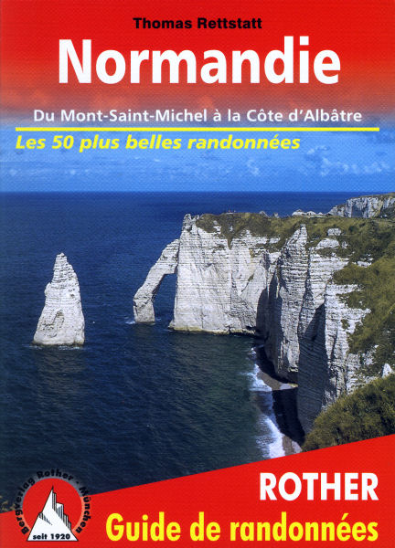
Normandy, hiking guide
Rother's Normandy hiking guide from Mont-Saint-Michel to the Alabaster Coast with 50 routes and GPS tracks
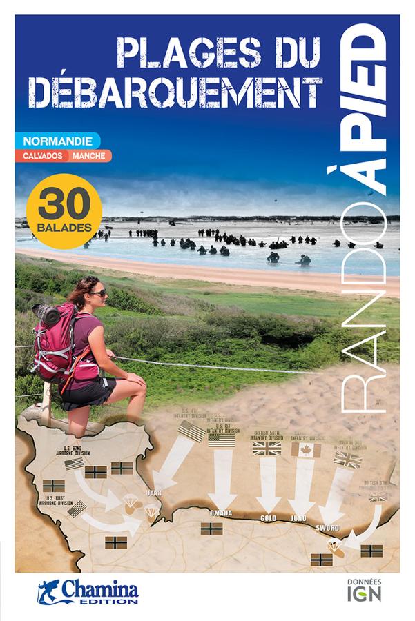
Plages du débarquement à pied
Topoguide Chamina pour découvrir les sites historiques du débarquement. Ouvrage pratique et complet de 30 circuits avec cartes sur fond IGN.
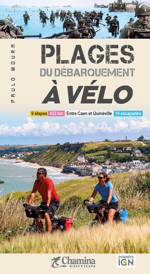
Plages du débarquement à vélo
Guide vélo sur les plages du débarquement en Normandie en 9 étapes entre Caen et Quinéville avec 10 escapades incluses et un itinéraire inédit de 470 km.