
Description
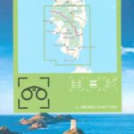
Southern Corsica - Tourist map
The TOPTourisme series returns with a complete revision including an updated departmental breakdown. With its new scale of 1:100,000 (1 cm = 1 km), the TOP 100 offers the perfect map for preparing and exploring the region of Southern Corsica via Ajaccio, Bonifacio, Porto-vecchio and the Natural Park of Corsica. The cycle routes are specially designed in partnership with the AF3V association and the FFRP - VéloRoutes et Voies Vertes, guaranteeing a safe and enriching experience.
This card includes:
- Historical and cultural heritage information
- Long-distance hiking routes
- Cycle routes, greenways and Eurovélos
Everyone has their own route with route ideas for diverse and varied nature activities.
Features :
- Edition: 2024
- Language: French, English, german
- Flat dimensions: 121 x 100 cm
- Folded dimensions: 25 x 11.1 cm
- Printing: Single sided
- scale: 1/100,000
- Weight: 0.100 kgs
- Publisher: IGN
Features
Name
Carte Corse du Sud - Ajaccio, Bonifacio, Porto-Vecchio IGN TOP 100
Length
11 cm
Width
1 cm
Height
25 cm
Weight
0.100 kg
Language
English, French, German
Type
Map
This might interest you
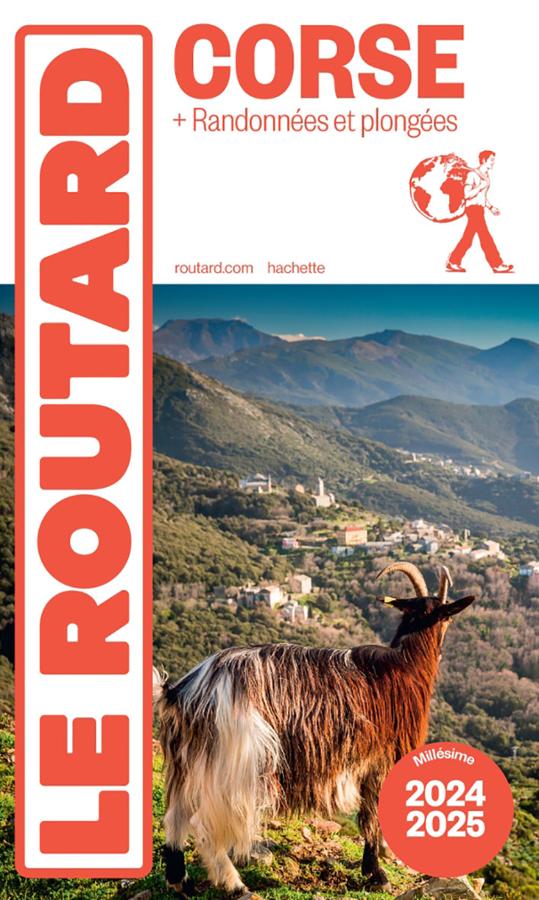
Corse + randonnées et plongées - Routard
The Routard guide to Corsica with hikes and dives to make the most of your stay with the Routard favourites
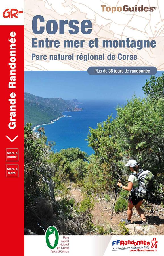
Corsica GR20 - between sea and mountains
Topoguide of hike FFRP on Corsica Mare è Monti between sea and mountain with more than 35 days of hike in the regional natural park of Corsica.
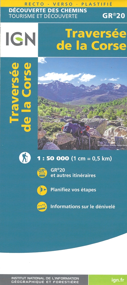
Traversée de la Corse GR20
Carte de randonnée IGN - Traversée de la Corse sur le GR20 au 1/50 000, d?couverte des chemins - tourisme et d?couverte.