
Description
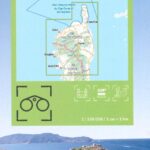
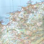
Crte IGN TOPtourisme de Haute-Corse
The TOPTourisme series returns with a complete revision including an updated departmental breakdown. With its new scale of 1:100,000 (1 cm = 1 km), the TOP 100 offers the perfect map for preparing and exploring the Haute-Corse region via Bastia, Calvi, Corte, the Corsica Regional Natural Park . The cycle routes are specially designed in partnership with the AF3V association and the FFRP - VéloRoutes et Voies Vertes, guaranteeing a safe and enriching experience.
This card includes:
- Historical and cultural heritage information
- Long-distance hiking routes
- Cycle routes, greenways and Eurovélos
Everyone has their own route with route ideas for diverse and varied nature activities.
Features :
- Edition: 2024
- Language: French, English
- Flat dimensions: 121 x 100 cm
- Folded dimensions: 25 x 11.1 cm
- Printing: Single sided
- scale: 1/100,000
- Weight: 0.100 kgs
- Publisher: IGN
Features
Name
Haute-Corse - IGN tourist map 1/100 00
Length
11 cm
Width
1 cm
Height
25 cm
Weight
0.100 kg
Language
English, French, German
Type
Map
This might interest you
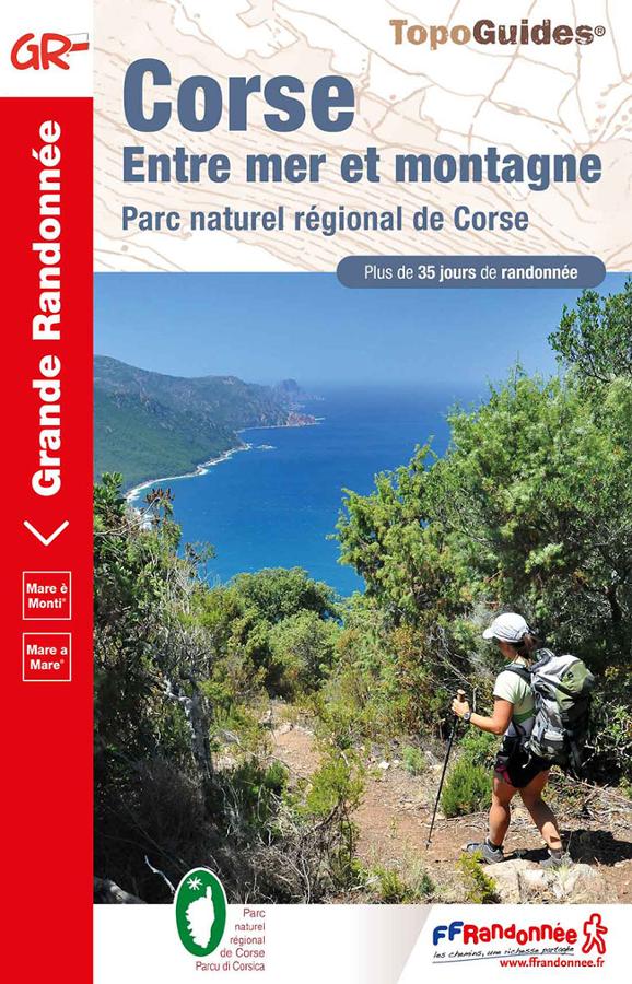
Corsica GR20 - between sea and mountains
Topoguide of hike FFRP on Corsica Mare è Monti between sea and mountain with more than 35 days of hike in the regional natural park of Corsica.
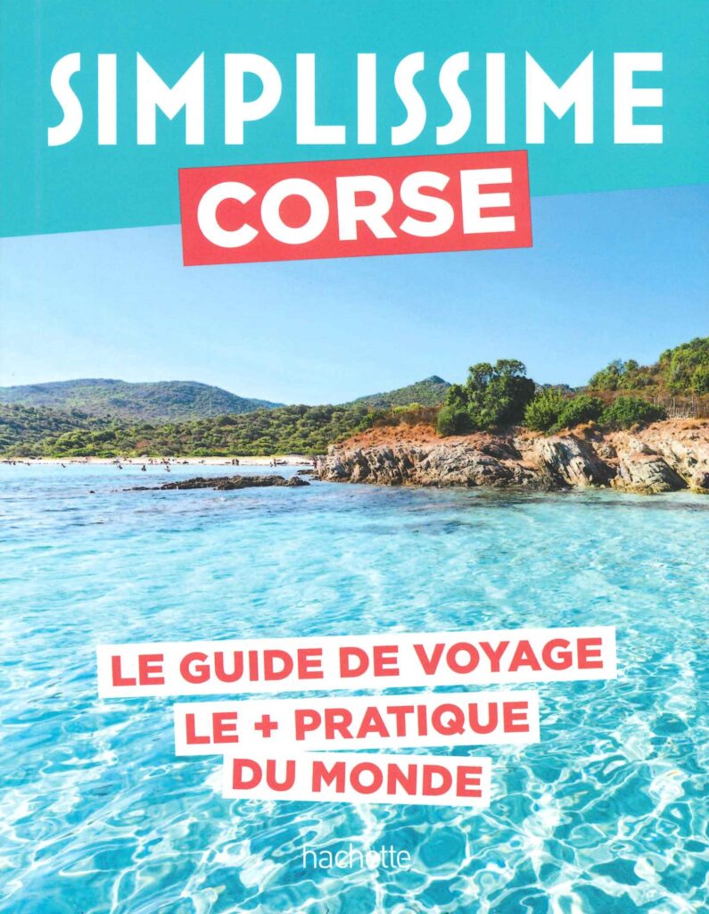
Corsica, it's very simple - travel guide
Discover the Isle of Beauty! This practical guide, with its content and small format, reveals the most beautiful hiking trails, secret beaches and hilltop villages. Immerse yourself in Corsican culture and taste the local flavors. Your ideal companion for an unforgettable vacation! To be completed with an IGN map to move around serenely once on the island.
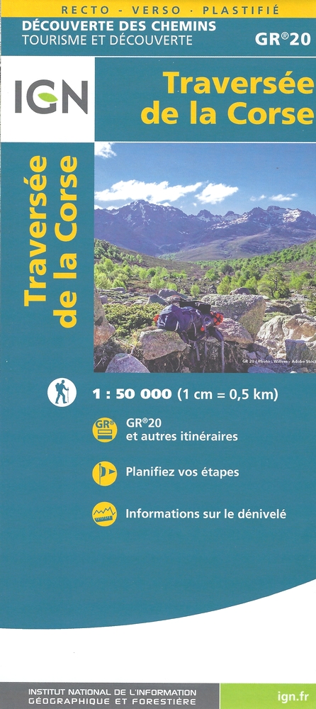
Traversée de la Corse GR20
Carte de randonnée IGN - Traversée de la Corse sur le GR20 au 1/50 000, d?couverte des chemins - tourisme et d?couverte.