Description
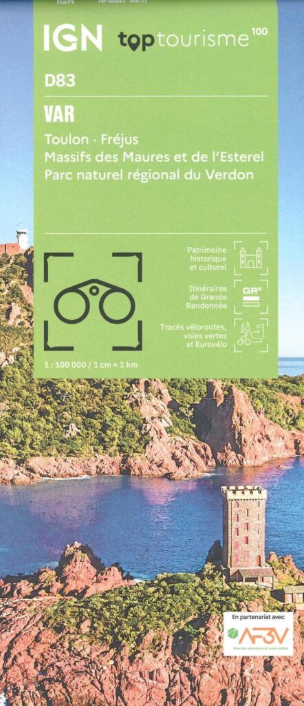
Var Tourist Map
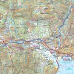
The TOPTourisme series returns with a complete revision including an updated departmental breakdown. With its new scale of 1:100,000 (1 cm = 1 km), the TOP 100 offers the perfect map for preparing and exploring the Var region via Toulon, Fréjus, the Massif des Maures and Esterel and the Verdon regional natural park. The cycle routes are specially designed in partnership with the AF3V association - VéloRoutes et Voies Vertes, guaranteeing a safe and enriching experience.
This card includes:
- Information Historical and cultural heritage
- Long-distance hiking routes
- Cycle routes, greenways and Eurovélos
Everyone has their own route with route ideas for diverse and varied nature activities.
Features :
- Edition: 2024
- Language: French, English, German
- Flat dimensions: 121 x 100 cm
- Folded dimensions: 25 x 11.1 cm
- Printing: Single sided
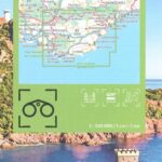
- scale: 1/100,000
- Weight: 0.100 kgs
- Publisher: IGN
Features
Name
Carte Var - Toulon, Fréjus IGN TOP 100
Length
11 cm
Width
1 cm
Height
25 cm
Weight
0.100 kg
Language
English, French, German
Type
Map
This might interest you
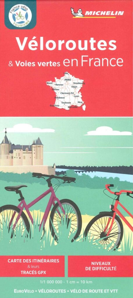
Michelin Map - Cycle Routes and Greenways in France
This new Michelin 2024 edition of Véloroutes and Voies vertes in France. A 1/000,000 map, very complete with GPX tracks and difficulty levels. Ideal for preparing your getaways, to be completed with a guide to the desired destination.
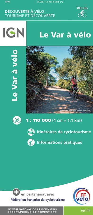
Le Var à vélo- carte IGN
Carte IGN série tourisme et découverte sur le Var à vélo au 1/110 000 avec itinéraires de cyclotourisme et informations pratiques.