

Description
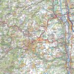
Loire Tourist Map
The TOPTourisme series returns with a complete revision including an updated departmental breakdown. With its new scale of 1:100,000 (1 cm = 1 km), the TOP 100 offers the perfect map for preparing and exploring the Loire region via Saint-Etienne, Roanne, the Pilat Regional Natural Park and the Upper Loire Valley. The cycle routes are specially designed in partnership with the AF3V association - VéloRoutes et Voies Vertes, guaranteeing a safe and enriching experience.
This card includes:
- Information Historical and cultural heritage
- Long-distance hiking routes
- Cycle routes, greenways and Eurovélos
Everyone has their own route with route ideas for diverse and varied nature activities.
Features :
- Edition: 2024
- Language: French, English, German
- Flat dimensions: 121 x 100 cm
- Folded dimensions: 25 x 11.1 cm
- Printing: Single sided
- scale: 1/100,000
- Weight: 0.100 kgs
- Publisher: IGN
Features
Name
Carte Loire - St Etienne, Roanne IGN TOP 100
Length
11 cm
Width
1 cm
Height
25 cm
Weight
0.100 kg
Language
English, French, German
Type
Map
This might interest you
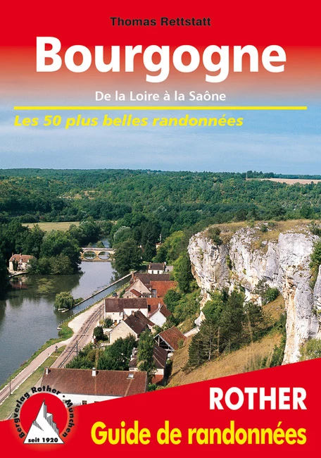
Bourgogne, les 50 plus belles randonnées
50 randonnées en Bourgogne, de la Loire à la Saône et de Sens à Mâcon à travers un paysage très diversifié.
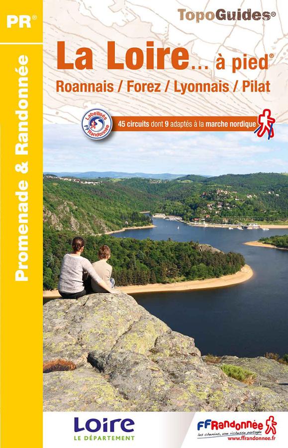
La Loire à pied
Topoguide FFRP Promenades et randonnées avec 45 circuits sur la Loire à pied, Roannais, Forez, Lyonnais et Pilat.
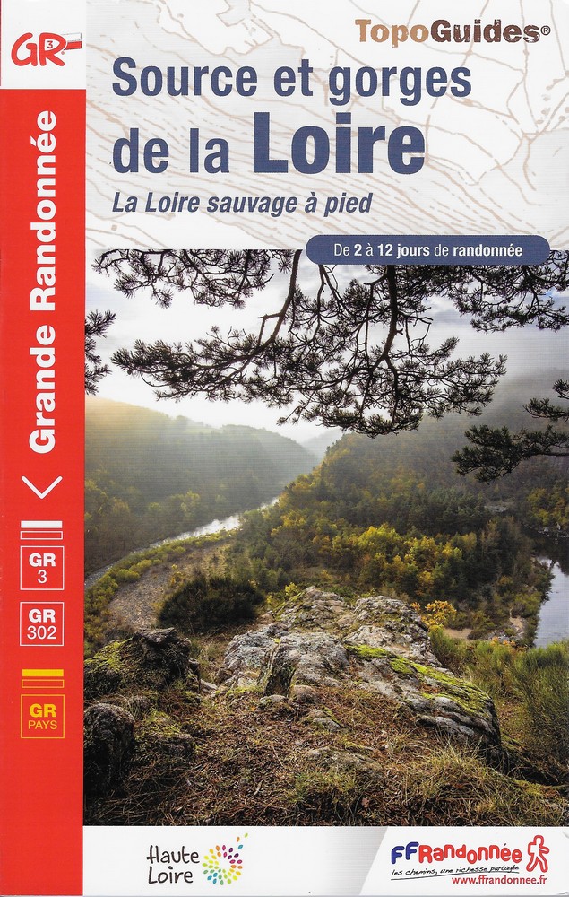
Sources et gorges de la Loire - GR 3 - GR 302
Topoguide GR sur la source et les gorges de la Loire avec expertise FFRP associ?e aux cartes IGN. Guide sur le GR 3, le sentier de la Loire et le GR 302.