Description
Hautes-Pyrénées Tourist Map
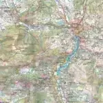
The TOPTourisme series returns with a complete revision including an updated departmental breakdown. With its new scale of 1:100,000 (1 cm = 1 km), the TOP 100 offers the perfect map for preparing and exploring the Hautes-Pyrénées region via Tarbes, Lourdes, Gavarnie, Nouvelle and the Pyrénées National Park. The cycle routes are specially designed in partnership with the AF3V association - VéloRoutes et Voies Vertes, guaranteeing a safe and enriching experience.
This card includes:
- Historical and cultural heritage information
- Long-distance hiking routes
- Cycle routes, greenways and Eurovélos
- Cycle routes, greenways and Eurovélos
- Tarbes, Lourdes, Gavarnie, Néouvielle, Pyrenees NP
Everyone has their own route with route ideas for diverse and varied nature activities.
Features :
- Edition: 2024
- Language: French, English, German
- Flat dimensions: 121 x 100 cm
- Folded dimensions: 25 x 11.1 cm
- Printing: Single sided
- scale: 1/100,000
- Weight: 0.100 kgs
- Publisher: IGN
Features
Name
Carte Hautes Pyrénées - Tarbes, Lourdes, PNR des Pyrénées IGN TOP 100
Length
11 cm
Width
1 cm
Height
25 cm
Weight
0.100 kg
Language
English, French, German
Type
Map
This might interest you
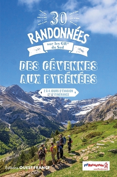
30 randonnées sur les GR® du sud, des Cévennes aux Pyrénées
Ouest-France guide to the 30 most beautiful hikes on the FFRandonnée marked hiking trails between the Cévennes and the Pyrenees over 2 to 4 days.
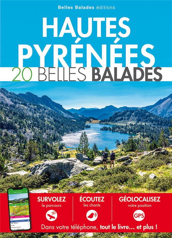
Hautes-Pyrénées 20 belles balades
Guide to 20 Beautiful Walks in the Hautes Pyrénées with application and information on fauna and flora.
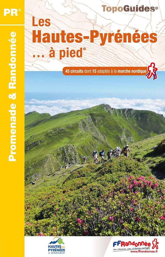
Les Hautes-Pyrénées à pied
FFRP hiking topoguide on the Hautes-Pyrénées on foot with 45 circuits including 15 adapted to Nordic walking around Tarbes with maps and descriptions.