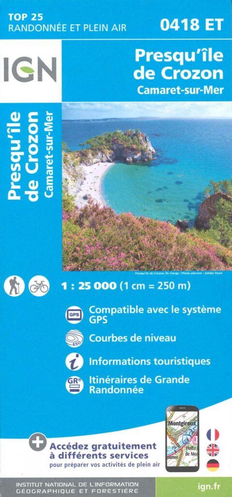
Description
TOP 25 map Presqu'île de Crozon
Prepare your cycling or walking tour on the Crozon Peninsula and Camaret-sur-Mer with this IGN map at 1/25 000.
The Crozon Peninsula is located in Finistère, on the GR 34 coastal path in the heart of Brittany near Brest. It is one of the best preserved nature sanctuaries in southern Brittany.
This TOP 25 map includes :
- 1:25 000 scale map
- Compatible with the GPS system
- Contour lines
- Tourist information
- Itineraries for long-distance hiking
Characteristics :
- Edition: 2023
- Language: French, English, German
- Flat dimensions: 132.00 x 95.20 cm
- Folded dimensions: 23.8 x 11.1 cm
- Printing: single sided
- Weight: 0.100 kgs
- Publisher: IGN TOP 25
Features
Name
Presqu'île de Crozon - Camaret-sur-mer - Carte IGN TOP 25
Length
11 cm
Width
1 cm
Height
24 cm
Weight
0.100 kg
Language
English, French, German
Type
Map
This might interest you
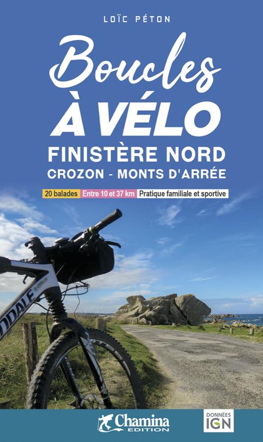
Boucles à vélo Finistère Nord - Crozon - Monts d'Arrée
20 cycling loops between 10 and 30 km in North Finistère Crozon and Monts d'Arrée. Family and sport practice with IGN maps.
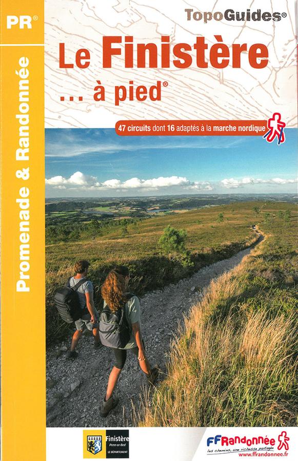
Le Finistère à pied
Topoguide FFRP promenade et randonnée en Finistère avec une sélection de 47 circuits dont 16 adaptés à la marche nordique.
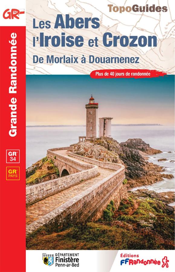
Topoguide GR®34 – Les Abers, l’Iroise et Crozon, de Morlaix à Douarnenez
Hike the GR®34 from Morlaix to Douarnenez with this FFRandonnée guidebook dedicated to the Abers, the Iroise, and the Crozon peninsula. It covers more than 40 days of hiking on the famous coastal path, as well as 3 complementary GR® de Pays trails: the Tour de Morlaix, the Tour d’Iroise, and the Tour de la Presqu’île de Crozon.