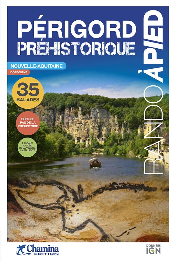

Description
A detailed IGN map for hiking in the Dordogne
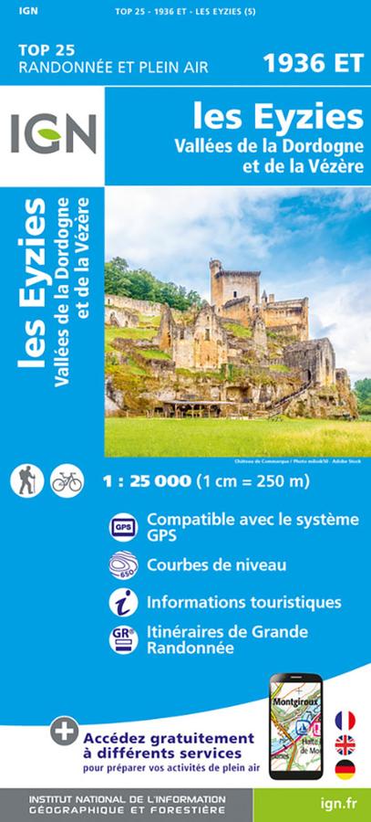
The IGN 1936ET Les Eyzies-de-Tayac-Sireuil map is an essential tool for planning your hikes in the Périgord Noir region.
It covers an iconic area of the Dordogne, including the Dordogne and Vézère valleys, as well as well-known towns such as Les Eyzies, Saint-Cyprien, Le Bugue, and Beynac.
Thanks to its 1:25,000 scale, the map offers a high level of detail. This allows you to easily locate trails, country roads, hamlets, woods, rivers, springs, and topographical features.
Vézère Valley, Dordogne Valley, and Prehistoric Heritage
This map is ideal for exploring a region rich in landscapes and heritage. The Vézère Valley is known for its prehistoric sites, cliffs, rock shelters, and charming villages.
Furthermore, the Dordogne Valley offers wonderful hiking opportunities, winding between villages, castles, viewpoints, and wooded paths. The area around Beynac, Saint-Cyprien, Le Bugue, and Les Eyzies provides a variety of routes.
The map also includes useful tourist information. This makes it easy to combine hiking, cultural exploration, and visits to local heritage sites.
A reliable tool for planning your routes
Like all IGN TOP 25 maps, this map is designed for hiking and outdoor activities. Contour lines allow you to assess the terrain. Marked trails help you plan your outing with greater peace of mind.
In addition, the map can also be used to locate access points, plan a loop, or prepare a day hike. It is therefore useful for hikers, travelers staying in the Périgord region, and those interested in natural and cultural heritage.
Finally, its detailed scale makes it an excellent complement to a guidebook or GPS track. It allows you to maintain a clear view of the terrain and possible routes.
Map Highlights:
- IGN TOP 25 map dedicated to the Eyzies area
- Dordogne and Vézère valleys
- Precise 1:25,000 scale
- Ideal for hiking
- Marked trails and tourist information indicated
- Contour lines for understanding the terrain
- Roads, paths, woods, rivers, springs, and hamlets shown
- Sectors of Saint-Cyprien, Le Bugue, Beynac, and Les Eyzies
- Very useful for planning hikes in the Périgord Noir
- Compatible with GPS
FAQ
What area does IGN map 1936ET cover?
This map covers the Eyzies-de-Tayac-Sireuil area, as well as the Dordogne and Vézère valleys. It includes Saint-Cyprien, Le Bugue, and Beynac.
Is this map suitable for hiking?
Yes. It's an IGN TOP 25 map at a scale of 1:25,000. It's very precise and allows you to plan hikes with trails, terrain features, and other information.
Can I use this map to visit the Périgord Noir region?
Yes. It's useful for combining hiking with sightseeing. It helps you locate villages, landmarks, viewpoints, and access points.
What is the scale of this map?
The scale is 1:25,000. This means that 1 cm on the map corresponds to 250 m on the ground.
Does this map replace a guidebook?
No. The map allows you to understand the terrain and plan your route. A guidebook can supplement it with step-by-step descriptions and practical information.
Features
Name
Carte IGN TOP 25 - Les Eyzies - Dordogne Valley and the Vézère
Length
20 cm
Height
13 cm
Weight
0.090 kg
Language
French
Type
Map
This might interest you

La Dordogne à vélo - IGN
IGN cycling map of the Dordogne at 1/120 000 with cycling routes and tourist information.

The 30 Most Beautiful Trails in Dordogne
Edition, completely renewed and updated, this topoguide offers you a wide choice of circuits throughout the Dordogne department. from 2 to 25 km, there will be something for all types of hikers !