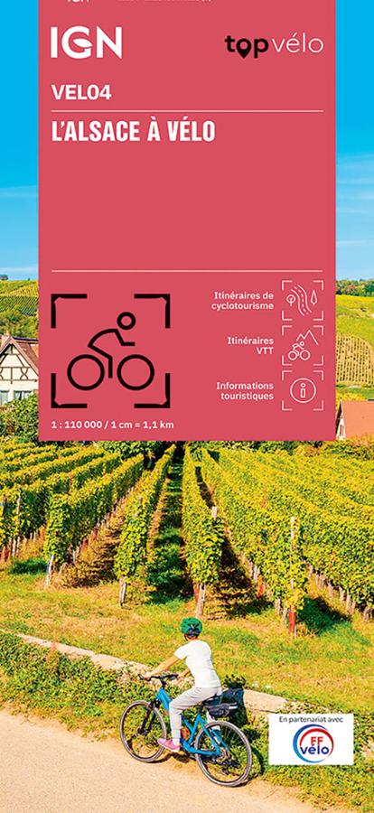
Description
An IGN map for discovering Alsace by bike
The IGN Alsace by Bike map is ideal for planning a cycling holiday in one of the most pleasant regions to explore by bicycle. Between flower-filled villages, vineyards, canals, quiet roads, and Vosges valleys, Alsace offers a wide variety of routes.
Thanks to its 1:110,000 scale, this map provides a clear overview of the region. It allows you to locate cycling routes, distances, access points, villages, terrain, and major points of interest. It is therefore a very useful tool for planning a day trip, a weekend getaway, or a longer journey.
Routes through vineyards, villages, and valleys
Alsace is particularly well-suited for cycling. The map allows you to plan routes along vineyard roads, around charming villages, across agricultural plains, or towards the valleys at the foot of the Vosges Mountains.
Thus, it caters to both touring cyclists and mountain bikers. The routes offer a variety of experiences: family outings, more challenging circuits, wine tours, or heritage explorations.
Furthermore, Alsace boasts a renowned cycling network, with numerous loop options and connections to major European routes.
A practical paper map to complement your GPS
The IGN TOP Vélo VEL04 map is designed to facilitate cycling preparation and enjoyment. It helps visualize distances, route variations, and the sections best suited to your skill level.
It remains very useful on the road. Unlike a simple GPS screen, it allows you to maintain a comprehensive overview of the area. You can thus plan your stages, identify alternative routes, or organize a break in a nearby village.
Finally, its folded format makes it convenient to carry in a pannier or handlebar map holder. It's a great companion for discovering Alsace by bike, whether for a single ride or a multi-day trip.
Key features:
- IGN TOP Cycling map dedicated to cycling in Alsace
- Reference VEL04
- Scale 1:110,000
- 2nd edition
- Produced in partnership with the French Cycling Federation (FFvélo)
- Cycling routes
- Mountain biking routes
- Double-sided map
- Text in French and English
- Ideal for discovering the vineyards, villages, and valleys of Alsace
- Practical tool for planning a ride, a weekend, or a cycling holiday
- Easy-to-carry folded format
FAQ
What area does the IGN Cycling in Alsace map cover?
This map covers Alsace and its main cycling areas, including villages, vineyards, valleys, and scenic routes.
Is this map suitable for cycle touring?
Yes. It is designed for planning cycling trips and cycle touring routes in Alsace.
Can it be used for mountain biking?
Yes. The map also shows mountain biking routes, allowing you to vary your riding style depending on the area.
What is the scale of this IGN map?
The scale is 1:110,000. This means that 1 cm on the map corresponds to 1.1 km on the ground.
Is this map suitable for a cycling holiday in Alsace?
Yes. It is very useful for planning a weekend or a longer cycling holiday in Alsace, especially around the vineyards, traditional villages, and Vosges valleys.
Features
Name
Alsace by bike IGN map
Width
11.5 cm
Height
23 cm
Weight
0.104 kg
Language
French
Type
Map
This might interest you
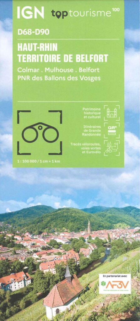
Carte Haut-Rhin, Territoire de Belfort IGN TOP 100
2024 Edition. Discover the Haut-Rhin department by bike and on foot, you will enjoy hiking along the Alsace Canal, in the forests of the Ballons des Vosges regional natural park with varied fauna and flora, ideal for family walks or bike rides. Cyclists will not be left out with at least 2 famous cycle routes.
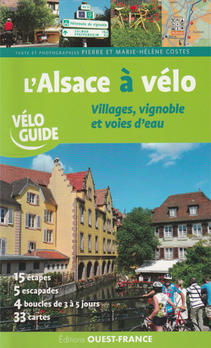
l'Alsace à vélo - villages, vignoble et voies d'eau
Parcourez l'Alsace à vélo sur 750 km avec ce vélo guide. Un itinéraire principal entre Haut-Rhin et Bas-Rhin en 15 étapes, 5 escapades et 4 boucles au départ des grandes villes.
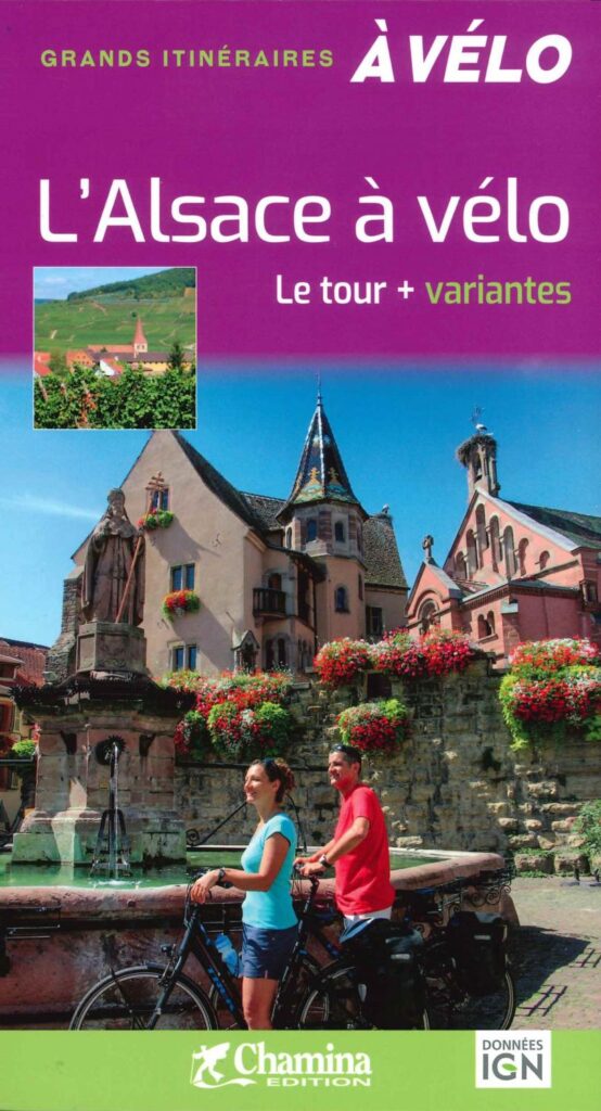
The Tour of Alsace by Bike and its Variants
Discover the 2024 edition of the Tour de l'Alsace (and variants) by bike, covering almost 445 km of route, including an escapade, via Strasbourg, Colmar and Mulhouse.