Description
A cycling atlas for exploring Belgium
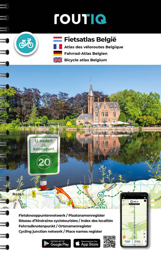
The Routiq Fietsatlas België is a practical tool for discovering Belgium by bike. It uses the numbered junction system, widely used in Belgium and the Netherlands. This network makes it easy to plan a route by connecting cycle junction numbers.
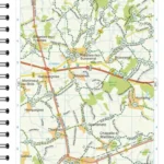
Thanks to its 1:75,000 scale, the atlas offers a detailed view of the territory. It allows you to visualize roads, cycle paths, villages, towns, natural areas, and connections between routes.
Therefore, it is suitable for both local cyclists and travelers planning a cycling holiday in Belgium.
Numbered junctions, routes, and borders
The great advantage of this atlas is that it facilitates the creation of customized routes. By using the numbered junctions, everyone can create a loop, a day trip, or a multi-day journey.
The atlas covers the major cycling areas of Belgium, from the coast to the Ardennes, including the countryside, historic towns, canals, and border regions. Some retailer listings also mention the inclusion of the border area with the Netherlands, which is very useful for extending a route.
It's therefore a great tool for planning rides in Flanders, around Brussels, in Wallonia, or in the regions near the Dutch border.
A practical format for planning your outings
The spiral binding makes it easy to browse the pages. This is a real plus for a cycling atlas, especially when you want to compare several areas or plan different route options.
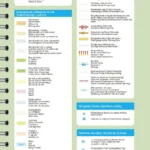
The directory of towns and villages allows you to quickly find a specific city or village. Tourist information and map landmarks also help you choose enjoyable stops.
Finally, this atlas is an excellent complement to a GPS app. It provides an overview of the cycling network and allows you to plan your route with more perspective.
Highlights of the Atlas :
- Belgium Cycling Atlas
- Scale 1:75,000
- Cycling Junction Network
- Ideal for creating your own routes
- Practical spiral binding
- Detailed mapping for cycle touring
- List of towns and villages
- Useful tourist information
- Suitable for rides, loops, and multi-day trips
- A good complement to a GPS or cycling app
FAQ
What does “junction” mean?
Junctions are numbered cycling junctions. They allow you to create a route by following a series of numbers marked on the ground.
Does this atlas cover all of Belgium?
It is presented as a cycling atlas of Belgium. Some sources specifically mention the Belgian cycle network, with border areas useful for extending routes.
What is the scale of the atlas?
The scale is 1:75,000, meaning 1 cm represents 750 m.
Is this atlas suitable for a cycling trip?
Yes. It allows you to plan your cycling stages and create your route using the network of numbered junctions.
Is it useful with a GPS?
Yes. It complements a GPS very well, as it provides a comprehensive overview of the cycling network and allows you to anticipate alternative routes.
Features
Name
Belgium Bicycle Atlas – Routiq Bicycle Atlas Belgium 1:75,000
Weight
0.818 kg
Language
Dutch, English, French, German
Type
Guide
This might interest you
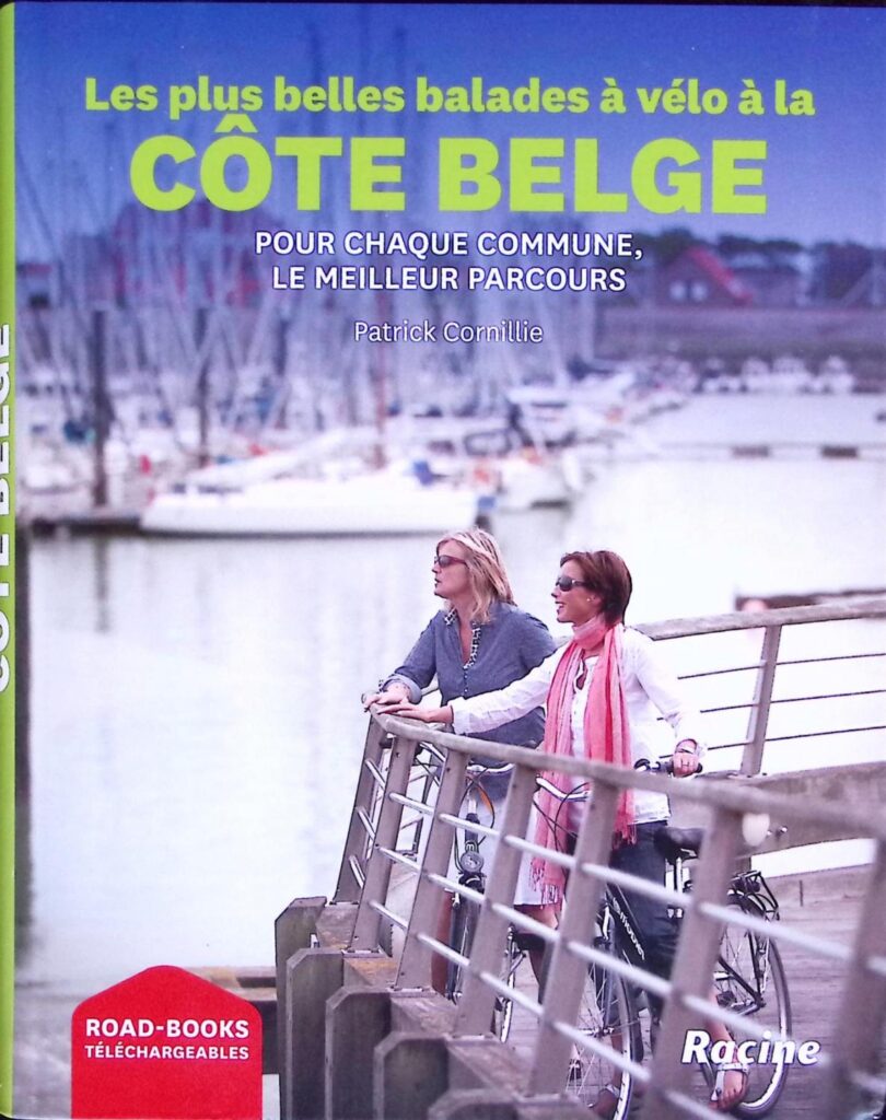
Les plus belles balades à vélo côte Belge
Ce guide de la côte belge répertorie les 10 plus beaux circuits à faire à vélo jalonnés de points-noeuds et accessibles à tous avec road-books téléchargeables.
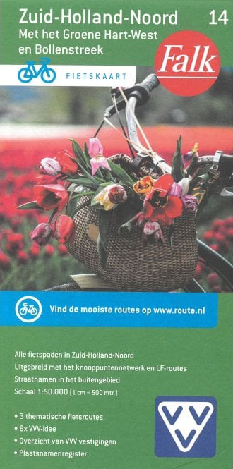
Zuid-Holland-Noord 14 - cycle map Falk
Falk cycle map at 1:50,000 for the northern part of the province of South Holland around Schoonhoven and Amstelveen.