


Description
Bay of the Somme, Picardy coast
14 family walks from 3 to 16km.
This walking guide includes :
- a detailed map for each walk
- practical information (duration, distance, access to departure point).
- circuits leading from the coast to the hinterland, to discover the impressive chalk cliffs of Ault, the unspoilt sites of Hâble d'Ault and Marquenterre, the dunes of Royon, the pointe du Hourdel, and remarkable small towns like Saint-Valery-sur-Somme and Rue.
|
Caractéristiques du guide
|
Features
Name
Baie de Somme, côte Picarde
Length
12 cm
Width
1 cm
Height
16 cm
Weight
0.097 kg
Language
French
Type
Guide
This might interest you
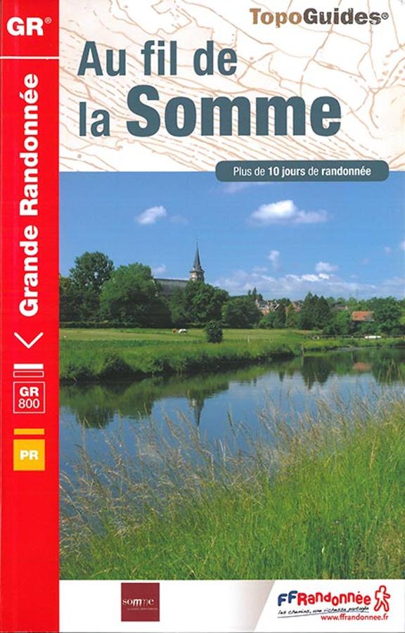
Au fil de la Somme - GR800
Topoguide de randonnée FFRP au fil de la Somme sur le GR800 depuis la source du fleuve picard dans l'Aisne jusqu'à la mer. Outil pratique avec informations pratiques et cartes IGN.
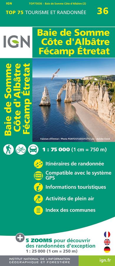
Baie de Somme - Côte d'Albâtre - Fécamp - Etretat - Carte IGN
Carte IGN TOP 75 sur la Baie de Somme, la Côte d'Albâtre, Fécamp et Etretat au 1/75 000 avec itinéraires de randonnée à vélo et à pied.
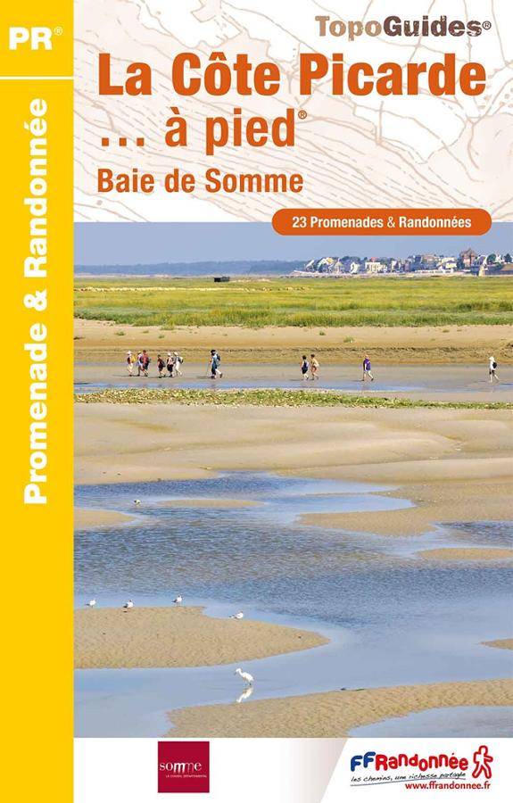
Côte Picarde à pied
FFRP hiking guide on the Picardy Coast and the Bay of the Somme with 23 walks and hikes with descriptions, maps and practical information.