


Description
Hiking, Biking and Skiing in the Black Forest – Outdoor Map by Kümmerly+Frey
Discover the natural beauty of the Black Forest with this detailed outdoor map. Ideal for hiking, cycling, horseback riding and cross-country skiing, it helps you explore the region in every season.
This 2019 edition by Kümmerly+Frey offers high-quality digital cartography at 1:35,000 and 1:50,000 scales. The map is printed on tearproof and waterproof paper, making it perfect for outdoor use in any weather.
You can easily plan your route and follow paths with great accuracy. The map highlights many attractive towns, such as Baden-Baden, Neubulach, Bad Wildbad, Zavelstein, Calw, and Wildberg. Each destination offers a mix of nature, culture, and outdoor activities.
Thanks to the HKF-Outdoor app, you can download the map to your smartphone for free. This allows you to navigate offline while keeping your hands free for hiking poles or handlebars.
Whether you’re setting out for a long hike, a bike tour, or a winter adventure, this map is a must-have. It combines the reliability of print with the convenience of digital navigation.
Durable, practical, and rich in detail, this Black Forest outdoor map is your perfect companion for discovering one of Germany’s most iconic regions.
Features
Name
Black Forest Hiking and Cycling Map
Length
13 cm
Width
05 cm
Height
21 cm
Weight
0.1 kg
Language
French, German
Scale 1/50 000
Scale
1/35 000
Type
Map
This might interest you
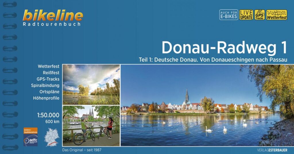
DONAU RADWEG 1 - FROM DONAUESCHINGEN TO PASSAU - EUROVELO 6
First part of the Danube, German part, from Donau to Passau. Discover its riches like the Black Forest in southwest Germany, Baden-Württemberg, Bavaria, the baroque royal residences, the Ulm bell tower.
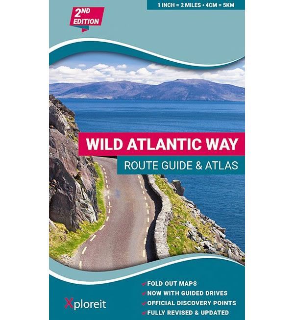
Wild Atlantic Way Irlande - Côte ouest de l'Irlande
Atlas regroupant 30 cartes le long du Wild Atlantic Way, la côte ouest irlandaise. Légende en français entre autres. échelle de la carte: de 3 km à 1 pouce. 1: 126 720.