
Description
Hiking map Lake Constance West
Outdoor maps ideal for hiking, skiing or cycling on Lake Constance West. High-quality digital cartography is printed on waterproof, tear-resistant paper, offering exceptional durability. The maps include contour lines for an accurate representation of the terrain, as well as indications of peaks, valleys, vegetation types and more. Hiking and mountain bike trails are highlighted for easy navigation.
Another major advantage is that you can download the map onto your smartphone free of charge.
With the exact GPS location on the map, you always know where you are.
The legend is available in English and German, offering a clear and precise understanding of map information.
Features :
- Edition: 2023
- Language: English, German
- Dimensions: 25 X 13 cm
- Scale: 1/35,000
- Weight: 0.110 kgs
- Publisher : Kümmerly+Frey
Features
Name
Bodensee West map
Length
13 cm
Height
25 cm
Weight
0.11 kg
Language
English, German
This might interest you
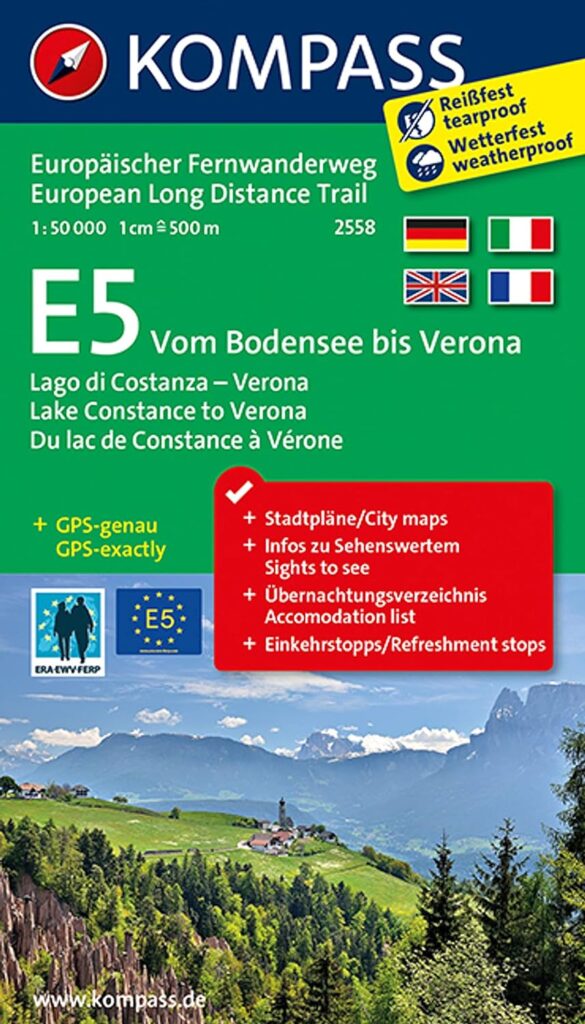
Carte Kompass E5 du Lac de Constance à Vérone - 2558
Kompass long-distance bike map E5 between Lake Constance and Verona at 1:50,000 scale with GPS tracks.
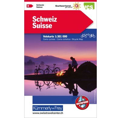
Swiss - bicycle map
Tear-proof, waterproof 1/301,000-scale bicycle touring map for discovering Switzerland, including all cycle paths.