


Description
Maine-et-Loire - hiking and cycling map
Maine-et-Loire offers superb opportunities for walking and cycling, with a variety of trails through verdant landscapes. Hikers can explore the paths of the Loire Valley, dense forests and renowned vineyards. Cyclists will appreciate the well-maintained cycle paths, including the famous Loire à Vélo, which follows the river and its majestic châteaux. Numerous signposted circuits allow you to discover the region's charming villages, historic sites and magnificent gardens. This diversity of routes guarantees an enriching experience for all outdoor enthusiasts.
This map includes :
- Historical and cultural heritage info
- Long-distance hiking routes: GR3, GR35
- Cycle routes, greenways and Eurovélos: La vélo Francette, La Vallée du Loir, La Loire à vélo - Eurovelo 6
A route for everyone, with ideas for a wide variety of nature activities.
Features :
- Edition: 2024
- Language: French, English, German
- Flat dimensions: 121 x 100 cm
- Folded dimensions: 25 x 11.1 cm
- Duplex printing
- scale: 1/110,000
- Weight: 0.100 kg
- Publisher: IGN
Features
Name
Carte Maine-et-Loire - Angers, Saumur, Cholet, Vallée et châteaux de la Loire IGN TOP 100
Length
11 cm
Width
0.5 cm
Height
25 cm
Weight
0.100 kg
Language
English, French, German
Scale
1/100 000
Type
Map
This might interest you
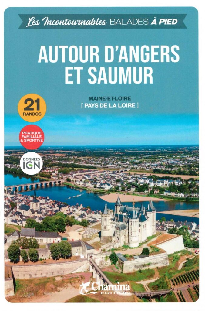
Around Angers and Saumur on Foot - The Essentials
Hiking around Angers and Saumur offers varied landscapes, from the banks of the Loire to famous vineyards. Explore the trails of the Loire-Anjou-Touraine Regional Nature Park and discover castles, forests and charming villages.
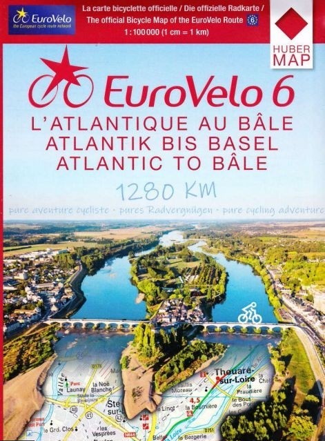
EuroVelo 6 maps - from the Atlantic to Basel by bike
Plan your EuroVelo 6 journey from the Atlantic to the Rhine with this set of six detailed cycling maps. From the Atlantic coast to Basel, the route follows, among other places, the Loire à Vélo, Burgundy à Vélo, the Doubs Valley, and the Rhône-Rhine Canal. At a scale of 1:100,000, these maps are ideal for planning a long-distance cycling trip in France.
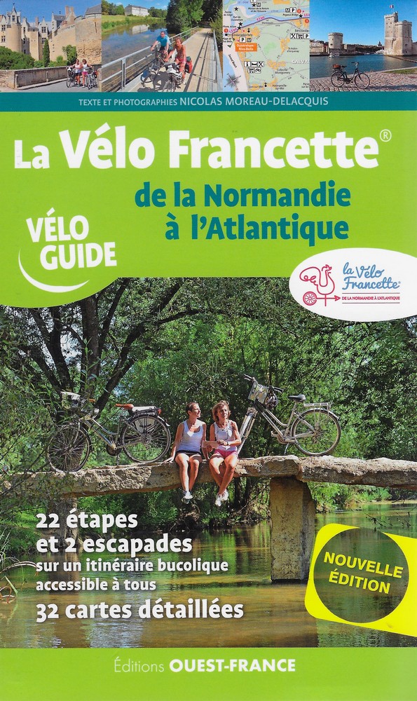
La Vélo Francette, from Normandy to the Atlantic
Travel with the guide Vélo Francette from Normandy to the Atlantic. Find all the practical information as well as tours, detours and tips to make.