
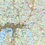
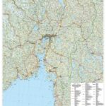
Description
Southern Norway Road Map: Oslo, Bergen, Stavanger | 1:250,000
Explore the heart of the fjords with the Southern Norway road map published by Freytag & Berndt. Covering the key regions of Oslo, Bergen, and Stavanger, this map is the essential tool for planning your journey through rugged mountains and dramatic coastlines.
Freytag & Berndt precision for a tailor-made trip
With an ultra-precise 1:250,000 scale, this 2026 edition is perfect for those who want to leave the main roads and venture onto the backroads.
It highlights official tourist routes, guaranteeing you'll pass by the most beautiful viewpoints in the south of the country.
Why choose this map for your road trip?
- Maximum detail: A scale of 1 cm to 2.5 km, ideal for navigating precisely between the fjords.
- Comprehensive Coverage: Includes the major areas of Oslo (the capital), Bergen (the gateway to the fjords), and Stavanger (near the famous Preikestolen).
- Freytag & Berndt Expertise: A publisher renowned for the clarity of its maps and the relevance of its leisure information.
- Multilingual: Information available in French, English, and German.
Travel Tip:
Complete your itinerary with the Northern Norway map!
Features
Name
Road and leisure map Norway South
Length
13 cm
Height
25 cm
Weight
0.18 kg
Eurovelo
Eurovelo 3
Publishers
Freytag&Berndt
Scale
1/250 000
This might interest you
Similar Products
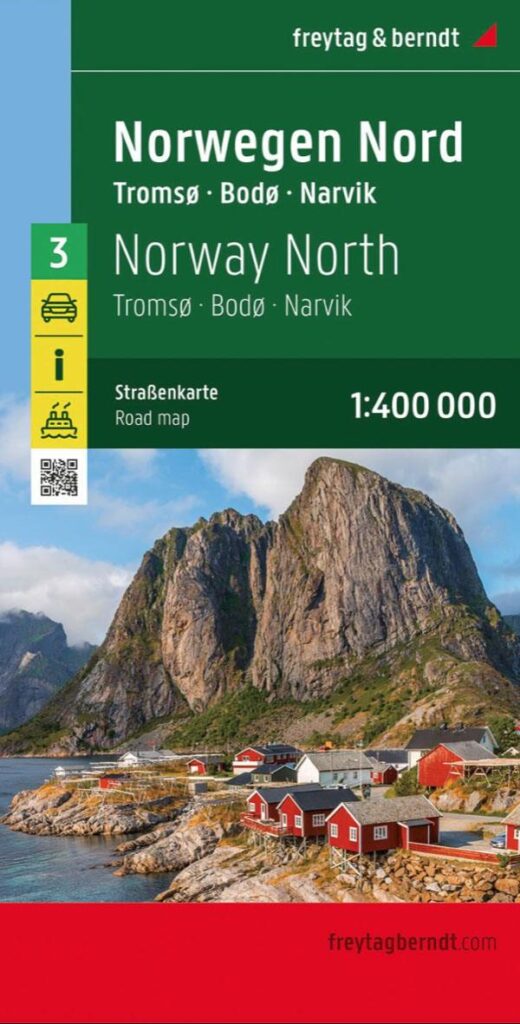
Road and leisure map Norway North
Road and leisure map of Northern Norway at 1:400,000. Also includes tourist information and an index with all postal codes.
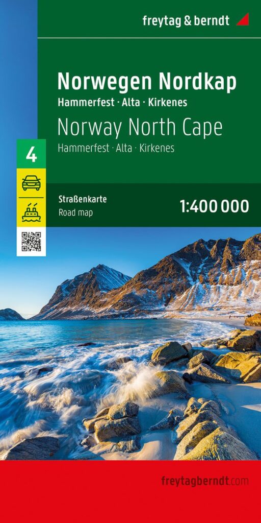
Carte touristique Norvège Cap Nord
Carte routière et de loisirs de la Norvège Cap Nord au 1:400 000. Découvrez également les informations touristiques, les bacs à voiture, un index avec tous les codes postaux.
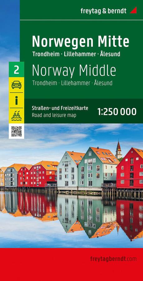
Road and leisure map Norway Mid
Carte routière et de loisirs de la Norvège Centrale au 1:250 000. Découvrez également toutes les informations touristiques, les bacs à voitures et un index des codes postaux.