
Description
Two maps to explore all of Denmark
The Denmark North & South set – freytag & berndt – includes two complementary maps to help you plan a trip throughout the country. Thanks to their 1:150,000 scale, they offer precise reading while providing a good overview.
These maps are useful for traveling by car, campervan, motorcycle, or bicycle. They allow you to locate major roads, secondary routes, connections between islands, distances, and the main Danish cities.
Therefore, they are suitable for both road trips and multi-stop stays around Copenhagen, Odense, Aarhus, Aalborg, or the coastal regions.
Danish roads, cycling routes, and cities
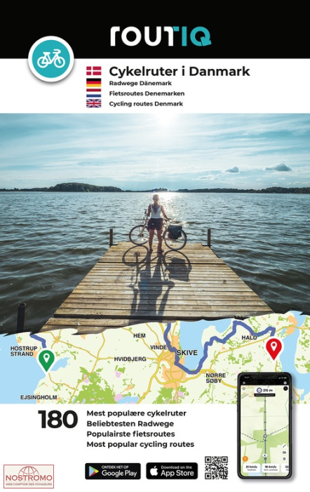
Denmark is a particularly pleasant destination for cyclists. The cycling network is extensive, distances are reasonable, and the landscapes alternate between coasts, islands, countryside, ports, bridges, and small towns.
These maps show cycling routes, making them very useful for planning a cycling trip. They can also be used to organize combined journeys, including car, train, and bicycle.
In addition, the integrated city maps make it easy to find your way around major cities. These include Aarhus, Aalborg, Odense, Copenhagen, Helsingborg, and Malmö.
A complete guide for planning your trip
This Freytag & Berndt map set offers clear relief mapping and an index with postal codes. This is practical for planning an itinerary, locating a stop, or quickly finding a destination.
The coverage of Denmark on two maps allows for better organization of your trip by region: Jutland, Funen, Zealand, Copenhagen, and the Danish islands. It's a good choice for travelers who want to keep a reliable paper guide in addition to a GPS.
Finally, the multilingual key, including French, makes it easy to use for French-speaking travelers.
Map Highlights :
- Set of 2 maps of Denmark
- Scale 1:150,000
- Relief mapping
- Cycling routes marked
- Index with postal codes
- City maps included
- Covers Denmark from north to south
- Useful for cars, campervans, motorcycles, or bicycles
- Multilingual legend including French
- Great complement to a GPS or navigation app
FAQ
What's in this product?
This is a set of two Freytag & Berndt maps covering northern and southern Denmark.
What is the scale of the maps?
The maps are at a scale of 1:150,000, which is 1 cm to 1.5 km.
Are these maps suitable for cycling?
Yes. They show cycling routes, making them useful for planning a cycling trip in Denmark.
What city maps are included?
The maps include plans of Aarhus, Aalborg, Odense, Copenhagen, Helsingborg, and Malmö.
Can these maps be used for a road trip?
Yes. They are suitable for planning a trip by car, van, campervan, or motorcycle, with roads, terrain, an index, and city maps.
Features
Name
Maps of Denmark North and South – freytag & berndt 1:150,000
Weight
0.34 kg
Language
Dutch, English, French, German, Italian, Spanish
Publishers
Freytag&Berndt
This might interest you
Similar Products
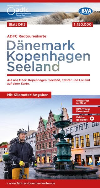
Denmark - Copenhagen - Seeland - cycle map
Waterproof bike map with national routes in Denmark, Copenhagen and Seeland at 1/150 000 with downloadable GPS tracks.
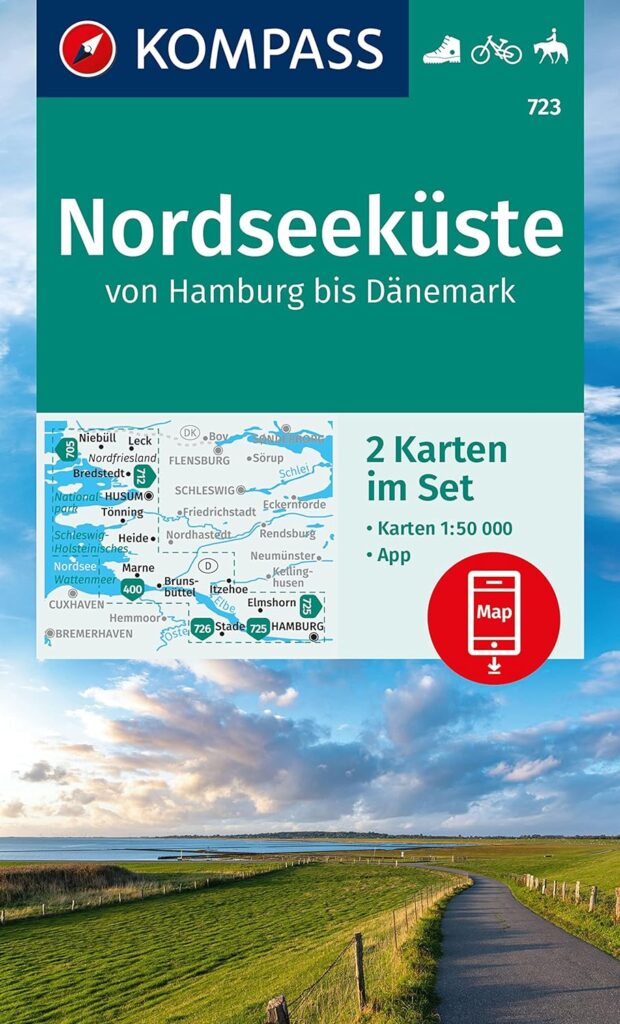
Route de la Mer du Nord - Nordseekuste - carte randonnée Kompass 723
Batch of maps for cycling and walking on the North Sea cycle route between Germany and Denmark at 1:50,000 scale.