


Description
Central Sardinia
The second largest island in the Mediterranean, full of contrasts: isolated bays, crystal clear water, turquoise sea, its mountain villages (Barbagia and Ogliastra. Oristano near the Phoenician colony of Tharros), its oak forests and its vineyards, its 300 caves (Neptune cave, Bleu Marine, Ispinigoli, etc.), its caverns and its mountain range. Mountain bike trails are also highlighted.
Discover this set of 4 Kompass hiking maps, scale at 1/50,000 (1 cm = 500 m) which will delight outdoor enthusiasts: topography of the terrain, hiking and cycling paths, level of difficulty, curves level and types of vegetation. You will also find symbols indicating campsites, youth hostels, mountain huts, hotels and hostels, sports and recreational facilities, as well as a wide range of other places of interest.
The Kompass card includes:
- Topography of the terrain, level of difficulty and contour lines
- Application
- Accommodation (hotels, shelters, hostels)
- Tourist information
- Cycling and walking routes
- Multilingual legend
Features
Name
4 Maps - Central Sardinia - Scale 1/50,000
Length
12.3 cm
Width
1.9 cm
Height
20.3 cm
Weight
0.598 kg
Language
German, Italian
Type
Map
This might interest you
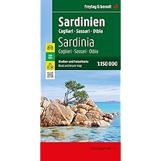
Carte Sardaigne - Freytag & Berndt
Carte de la Sardaigne au 1 : 150 000. Carte touristique avec beaucoup d'infos. Sont inclus en plus de la carte, des plans de centre-ville (6) et un fascicule présentant les principaux sites.
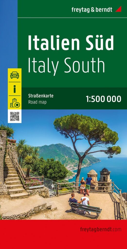
Italie du Sud
Carte Italie du Sud au 1/500 000 avec plans de ville de Rome, Naples inclus. Détail du réseau routier, voies vertes et intérêts touristiques.