

Description
Road and tourist map Central Sweden
A 1:250,000 scale map listing points of interest and campgrounds in Central Sweden, around Falun, Sundsvall and Gävle. Distances are indicated in km.
This map allows you to plan your routes with the indication of the tourist routes.
This map includes:
- 1:250,000 scale map
- sights
- camping grounds
Characteristics :
- Edition: 2024
- Language : English, French, deutsch
- Dimensions : 25.5 X 13 cm
- Scale : 1/250 000
- Weight : 0.160 kgs
- Publisher : Freytag & Berndt
Features
Name
Central Sweden map 4
Length
13 cm
Width
1 cm
Height
25.5 cm
Weight
0.18 kg
Language
English, French, German
Type
Map
This might interest you
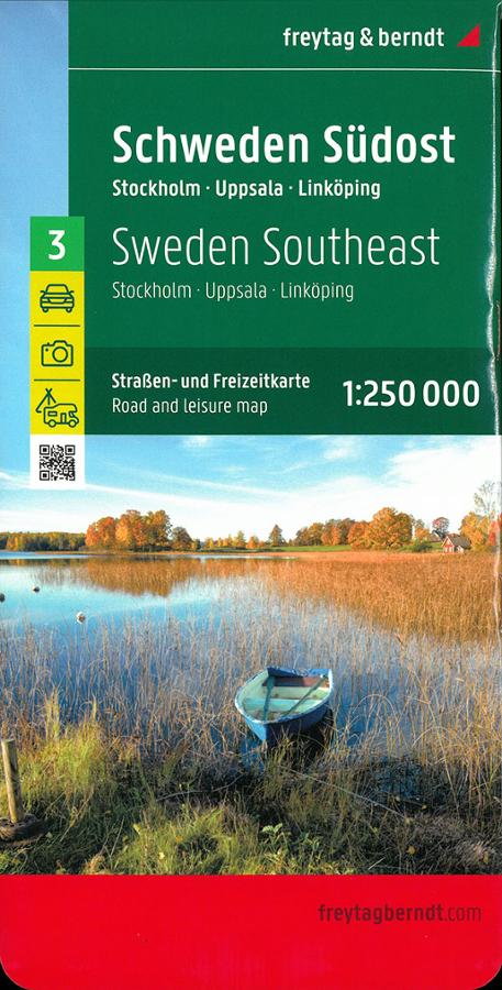
Southeast Sweden map 3
Freytag and Berndt road and tourist map of the southeastern part of Sweden at 1:250,000 around Stockholm.
12,90€
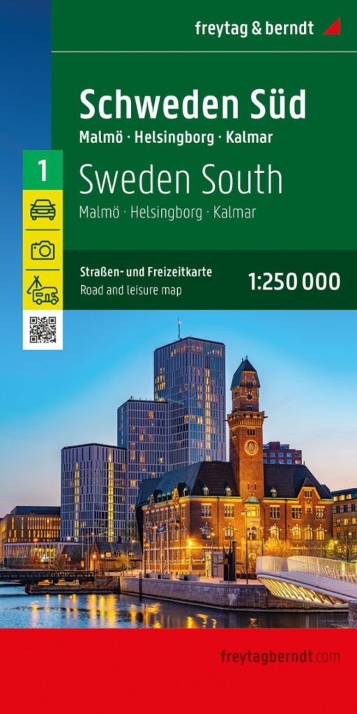
Sweden South map 1
Road and tourist map of Freytag & Berndt editions on the southern part of Sweden around Helsinborg and Kalmar at 1/250 000
12,90€
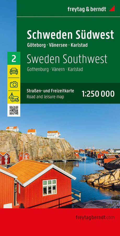
Southwest Sweden map n°2
Road and tourist map Freytag & Berndt Sweden southwest around Gothenburg, Vänersee and Karlstad at 1/250 000
12,90€