

Description
TOP 75 Chartreuse Belledonne
IGN tourism and hiking map of the Chartreuse and Belledonne massifs with tourist information and hiking itineraries.
The IGN TOP 75 map includes :
- Hiking and biking itineraries
- GPS compatible
- Tourist information
- Outdoor activities
- Index of communes
- 5 zooms to discover exceptional hikes at 1/25000 scale
Features :
- Edition: 2023
- Language: French, English
- Dimensions: 25 X 11 cm
- Scale : 1/75 000
- Weight: 0.110 kg
- Publisher : IGN
Features
Name
Chartreuse Belledonne - TOP 75
Length
11 cm
Height
25 cm
Weight
0.11 kg
Language
English, French, German
This might interest you
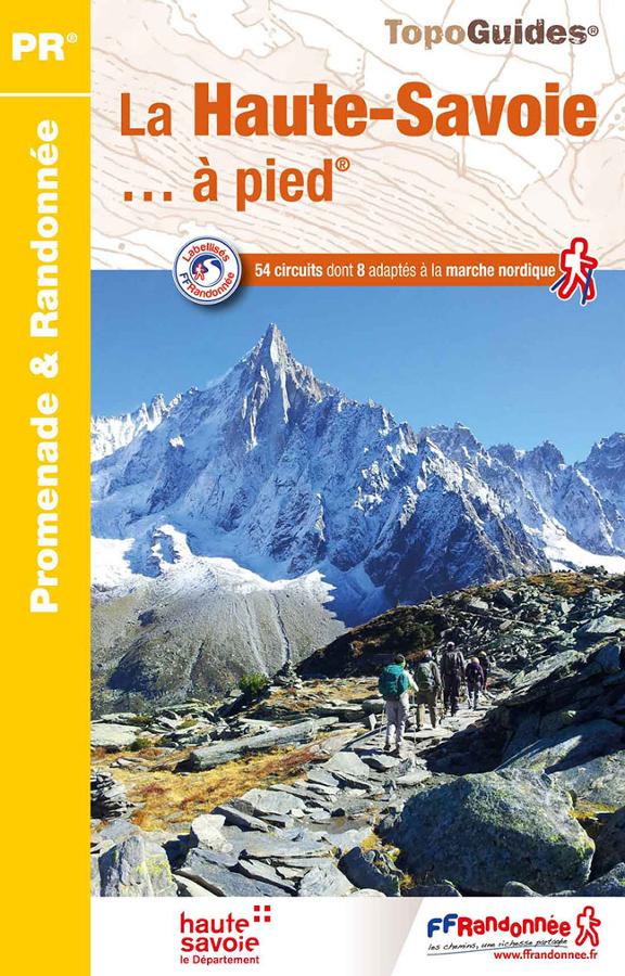
La Haute-Savoie à pied
FFRP hiking topoguide on Haute-Savoie with a selection of 54 circuits including 8 suitable for Nordic walking.
14,90€
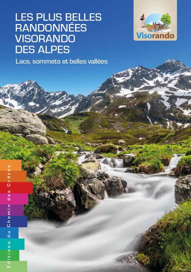
Les plus belles randonnées visorando des Alpes
The 62 most beautiful Visorando hikes through the Alps from Chartreuse to Mercantour, with a qr code for each hike.
24,00€
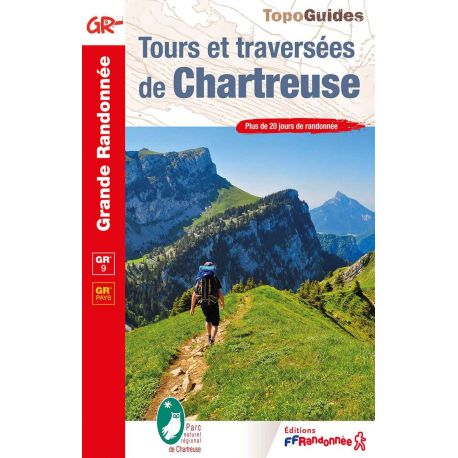
Tours and Crossings of the Chartreuse
This topoguide will accompany you on the GR9 trails. From Grenoble to Chambéry, Detailed descriptions and maps with kilometers and level of difficulty. Of course, nice photos and cultural information.
16,40€