
Description
Detailed maps for following EuroVelo 6 to the Black Sea
EuroVelo 6, also known as the Atlantic-Black Sea Cycle Route, is one of Europe's major cycling routes. This section between Budapest and the Black Sea follows the Danube River along its eastern bank.
This set of maps helps you plan the final leg of your journey, from the Hungarian capital to the shores of the Black Sea. It's a useful resource for cyclists planning a multi-week cycling trip along the Danube.
The route crosses several countries in Central and Eastern Europe. You'll cycle first through Hungary, then through Serbia, Bulgaria, and Romania. Finally, the route reaches the Black Sea after long stretches along the river.
A legendary section of the Danube by bike
From Budapest to the Black Sea, EuroVelo 6 offers a very different cycling experience from the more western sections. The landscapes become more expansive. The distances are longer. Moreover, the atmosphere along the Danube changes as you travel through different countries.
Along the way, cyclists discover cities, villages, river plains, natural areas, and border crossings. The route also offers a deeper understanding of the Danube's cultural diversity, spanning Central Europe, the Balkans, and the Pontic world.
These maps are therefore particularly useful for planning a long-distance trip. They allow you to visualize the stages, distances, and key landmarks of the route.
A practical tool for cycle tourists
The maps are available at a scale of 1:100,000. This scale provides a good level of detail for following a cycling route while maintaining a clear overview of the landscape.
In addition, their compact size is ideal for travel. They easily fit into a handlebar bag, a waterproof pouch, or a travel bag.
The legend is available in German, English, and Hungarian. Even without French text, the map remains legible thanks to the symbols, lines, place names, and visual markers.
Finally, this set is a great complement to a travel guide or GPS track. It allows you to maintain a reliable paper record of the route, especially in areas where digital access may be less convenient.
Map Highlights:
- Maps dedicated to EuroVelo 6 from Budapest to the Black Sea
- Last major section of the Danube by bike
- Route between Hungary, Serbia, Bulgaria, and Romania
- Scale 1:100,000
- Detailed mapping for cycle touring
- Compact format, convenient for travel
- Legend in German, English, and Hungarian
- Useful tool for planning a long-distance trip
- Ideal as a complement to a GPS track
- Suitable for experienced cycle tourists and those who enjoy long European routes
FAQ
What route does this EuroVelo 6 map cover?
This map covers the Budapest to Black Sea section of EuroVelo 6. It guides cyclists along the eastern part of the Danube by bike.
Is this map suitable for a multi-day cycling trip?
Yes. It is designed to help plan a cycling trip lasting several days or weeks. It allows you to visualize the route, stages, and key landmarks along the way.
Which countries are included in this section?
This section crosses or primarily concerns Hungary, Serbia, Bulgaria, and Romania, all the way to the Black Sea.
Is the map in French?
No. The legend is in German, English, and Hungarian. However, the map remains usable thanks to the symbols, lines, and place names.
Should I use a GPS with these maps?
Yes, it is recommended for such a long trip. These maps provide a good overview of the route on paper. In addition, a GPS track can facilitate precise route tracking.
Features
Name
EuroVelo 6 cycle map – Budapest to the Black Sea
Weight
0.305 kg
Eurovelo
Eurovelo 6
Language
English, German, Other
Publishers
Huberverlag
Scale
1/100 000
This might interest you
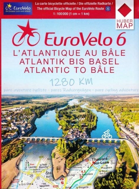
EuroVelo 6 maps - from the Atlantic to Basel by bike
Plan your EuroVelo 6 journey from the Atlantic to the Rhine with this set of six detailed cycling maps. From the Atlantic coast to Basel, the route follows, among other places, the Loire à Vélo, Burgundy à Vélo, the Doubs Valley, and the Rhône-Rhine Canal. At a scale of 1:100,000, these maps are ideal for planning a long-distance cycling trip in France.
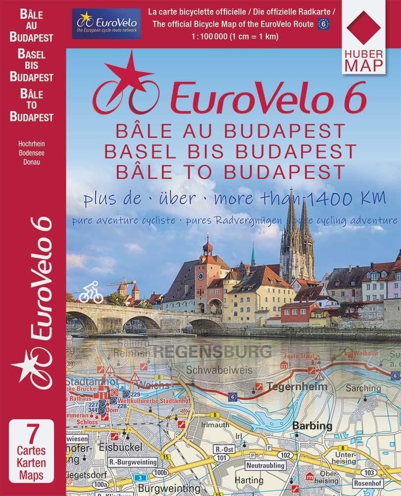
Rhine and Danube by Bike, Pack of 7 Maps - Eurovelo 6 from Basel to Budapest
Ride EuroVelo 6 between Basel and Budapest with this pack of 7 cycle maps. The Danube by bike within pedal range with these 1/100,000 maps, designed for cycle tourists.
Similar Products
EuroVelo 6 maps - from the Atlantic to Basel by bike
Plan your EuroVelo 6 journey from the Atlantic to the Rhine with this set of six detailed cycling maps. From the Atlantic coast to Basel, the route follows, among other places, the Loire à Vélo, Burgundy à Vélo, the Doubs Valley, and the Rhône-Rhine Canal. At a scale of 1:100,000, these maps are ideal for planning a long-distance cycling trip in France.
Rhine and Danube by Bike, Pack of 7 Maps - Eurovelo 6 from Basel to Budapest
Ride EuroVelo 6 between Basel and Budapest with this pack of 7 cycle maps. The Danube by bike within pedal range with these 1/100,000 maps, designed for cycle tourists.