

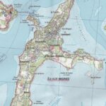
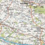
Description
IGN - Morbihan, Belle-Île, and Groix
IGN map at a scale of 1:75,000 for hiking and cycling in the Gulf of Morbihan.
Also discover five maps at a scale of 1:25,000 of: the Isle of Groix, the Isle of Arz, Arzon, and the Quiberon Peninsula.
This IGN map includes:
- hiking routes
- tourist information
- outdoor activities
- index of municipalities
This map is also compatible with GPS systems.
Features:
- Edition: 2016
- Weight: 150 g
- Dimensions: 25 x 11 cm
Features
Name
Gulf of Morbihan - IGN map TOP 75
Length
11 cm
Width
0.5 cm
Height
25 cm
Weight
0.150 kg
Language
French
Scale
1/25 000, 1/75 000
Type
Map
This might interest you
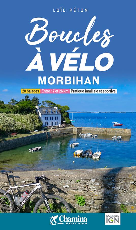
Cycling Loops in Morbihan for all levels
Cycling guide in Morbihan with a selection of 20 rides for family and sporting activities between 17 and 27 km.
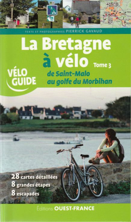
La Bretagne à vélo Tome 3, de Saint-Malo au golfe du Morbihan
Découvrez la Bretagne à vélo avec ce vélo-guide Ouest-France entre St Malo et le Golfe du Morbihan a 28 cartes détaillées, 8 grandes étapes et 8 escapades cyclables.
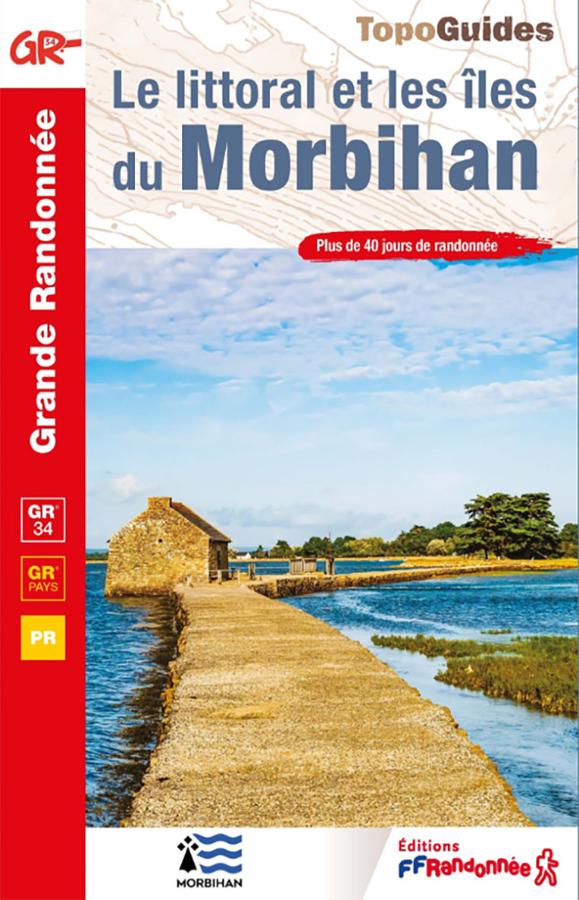
Topoguide GR®34 – Le littoral et les îles du Morbihan
Hike the GR®34 in Morbihan with this FFRandonnée guidebook. From Lorient to La Roche-Bernard, the route follows the Breton coastline for 22 days and 510 km. It also includes the Tour of Belle-Île-en-Mer, as well as 19 day or half-day walks around Groix, Houat, and Hoëdic.