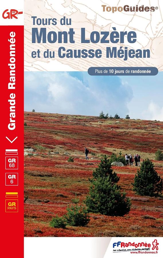
Description
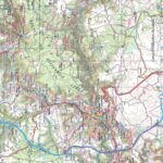
Lozère Tourist Map
The TOPTourisme series returns with a complete revision including an updated departmental breakdown. With its new scale of 1:100,000 (1 cm = 1 km), the TOP 100 offers the perfect map for preparing and exploring the Lozère region via Mende, Florac-trois-Rivières, the Cévennes National Park, the Tarn and Jonte Gorges. The cycle routes are specially designed in partnership with the AF3V association - VéloRoutes et Voies Vertes, guaranteeing a safe and enriching experience.
This card includes:
- Historical and cultural heritage information
- Long-distance hiking routes
- Cycle routes, greenways and Eurovélos
Everyone has their own route with route ideas for diverse and varied nature activities.
Features :
- Edition: 2024
- Language: French, English, German
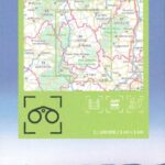
- Flat dimensions: 121 x 100 cm
- Folded dimensions: 25 x 11.1 cm
- Printing: Single sided
- scale: 1/100,000
- Weight: 0.100 kgs
- Publisher: IGN
Features
Name
Carte Lozère - Parc national des Cévennes IGN TOP 100
Length
11 cm
Width
1 cm
Height
25 cm
Weight
0.100 kg
Language
English, French, German
Type
Map