

Description
Explore the Grand Canyon du Verdon
Discover the Grand Canyon du Verdon, one of the most beautiful natural sites in Europe, with this IGN map specially designed for hikers. With its precise details and complete coverage of the territory, it will accompany you step by step on the most emblematic trails.
Why choose this map?
- Unparalleled precision: Trails, points of interest, difficulty levels
- Complete coverage: From Moustiers-Sainte-Marie to Lake Sainte-Croix, this map covers the entire massif.
- Detailed information: elevation differences, travel times, water points, accommodation, etc.
- Practical extras: lots of advice on fauna and flora, geology, history, etc.
What can you do with this map?
- Prepare your itinerary: Choose from a multitude of trails suitable for all levels, from beginner to advanced.
- Easily find your way: Thanks to the detailed toponymy and clear symbols, you won't risk getting lost.
- Discover the secrets of the canyon: Learn more about the geology, fauna and flora of this exceptional site.
- Share your passion: Soak up the magnificent landscapes and immortalize your most beautiful memories.
- Don't miss this opportunity to explore the Grand Canyon du Verdon safely and independently!
Features
Name
IGN Pedestrian Map - Verdon Gorges
Length
25.40 cm
Width
11.00 cm
Height
0.70 cm
Weight
0.110 kg
Language
French
Type
Map
This might interest you
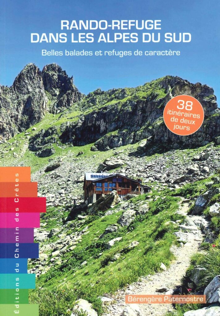
Hiking-Refuge in the Southern Alps
Beautiful walks with characterful refuges in the Southern Alps. 38 two-day itineraries in Verdon, Ubaye, Dévoluy, Clarée, Queyras, Mercantour, L'Ecrin du Nord and Champsaur-Valgaudemar. Leave alone.
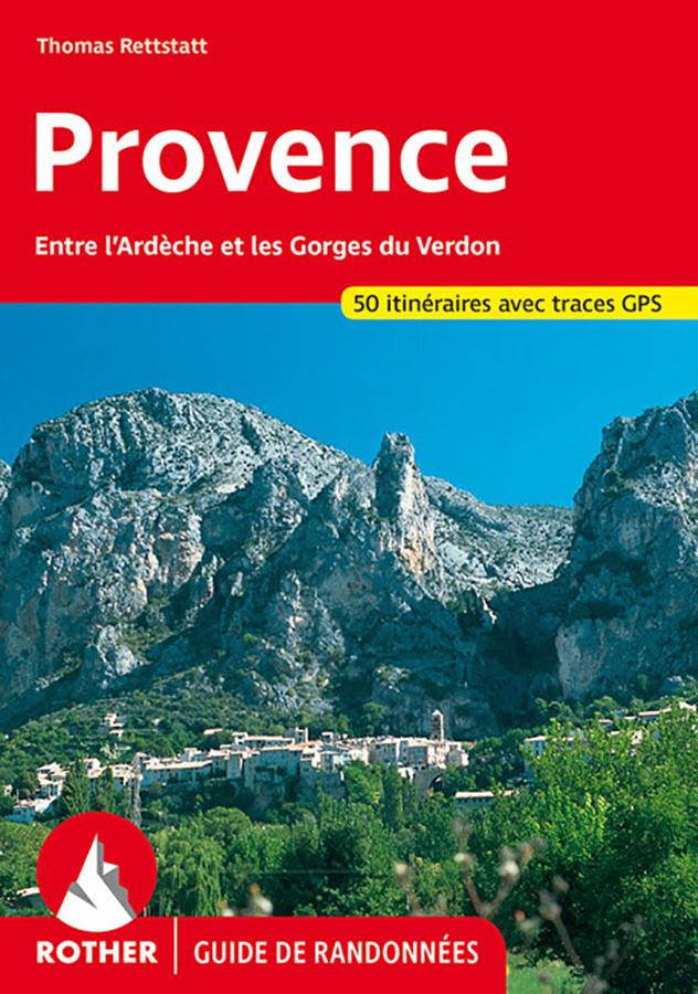
Provence - walking guide
Rother hiking guide on Provence between Ardeche and Gorges du Verdon, from Mont Ventoux to Calanques with 50 itineraries and GPS tracks.
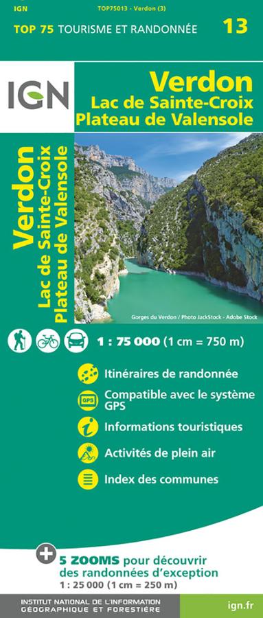
Verdon - Lac de Sainte Croix - Plateau de Valensole IGN TOP 75
IGN TOP 75 Tourism and hiking map of Verdon, Lac de Saint Croix and Plateau de Valensole, with cycling and walking itineraries.